odp
217 to 240 of 302 locations
-
Wineyard Hoog Beek & Royen
Wineyard Hoog Beek & Royen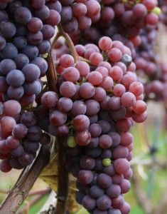
3708JA Zeist -
Groene Entree Kaapse Bossen
Groene Entree Kaapse Bossen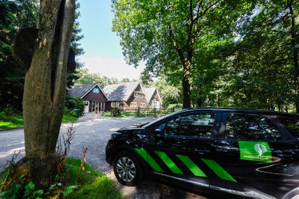
3941 MN DOORN -
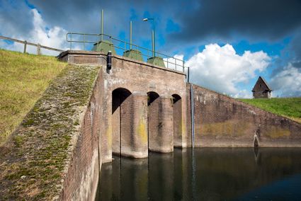
Inundation lock at Wijk bij Duurstede
Inundation lock at Wijk bij Duurstede
In 1870, the Kromme Rijn was given a key role in the New Dutch Waterline. Back then, it took almost a month to flood the area around Utrecht. This had to be speeded up. To this end, the river was widened, its bends were straightened and locks and dams were built. Near Wijk bij Duurstede, a large inundation lock was built that made Wijk bij Duurstede the ‘tap’ with which to turn on the New Dutch Waterline. This reduced the time needed to flood the inundation areas to between 4 and 12 days. The inlet is still used daily to transport fresh water to the city of Utrecht and the river Vecht.
3961CH Wijk bij Duurstede -
-
Soestdijk Palace
Soestdijk Palace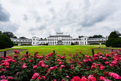
3744 AA Baarn -
Vechtstreekmuseum Maarssen
Vechtstreekmuseum Maarssen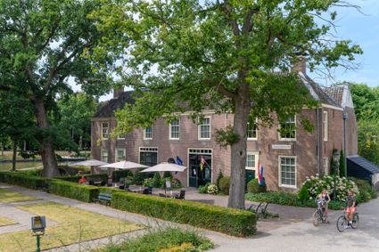
3601 GH Maarssen -
Fort Maarsseveen
Fort Maarsseveen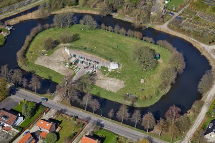
Herenweg 2
3602 AM Maarssen -
TOP Het Gagelgat
TOP Het Gagelgat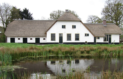
3768 HD Soest -
Prattenburg Estate
Prattenburg Estate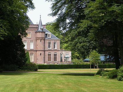
3911 RW Rhenen -
Nederlands Zilvermuseum
Nederlands Zilvermuseum
2871 CZ Schoonhoven -
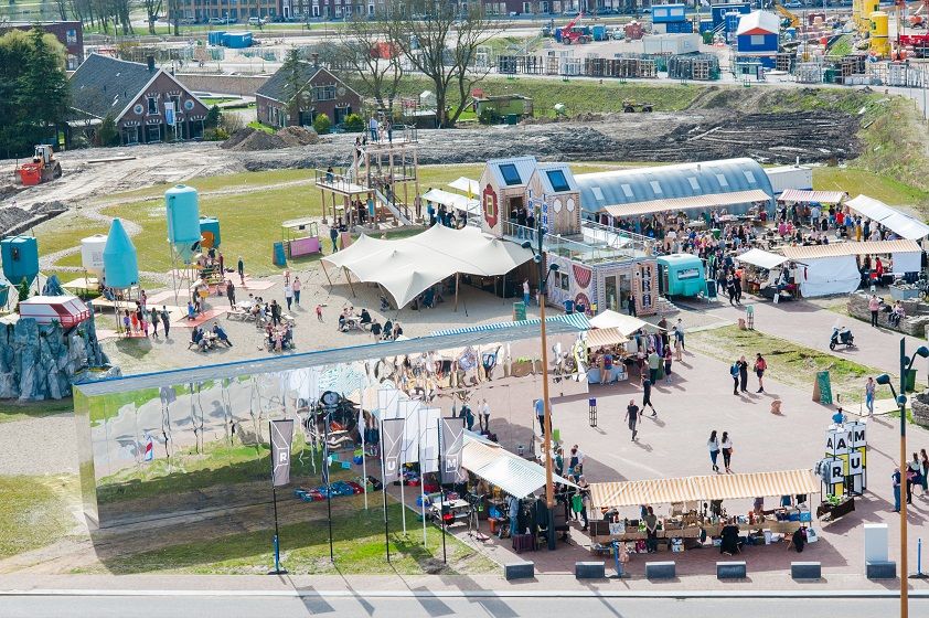
RAUM
RAUM
RAUM is an oasis in the new city, in the heart of Leidsche Rijn Center, where you can create, imagine and question the future of the city through art & design.
The city is a source of knowledge, skills, creativity and resources. In order to unlock that source, you must stimulate interaction between people and the environment. RAUM does this by stimulating through cultural experiment. And that provides new insights. Stories are made and told at RAUM. It is a place where art and design show the challenges of our city. A place that gives shape to the residents' solidarity with their city.
3541 CM Utrecht -
-
Lunchrestaurant Het Broodlokaal
Lunchrestaurant Het Broodlokaal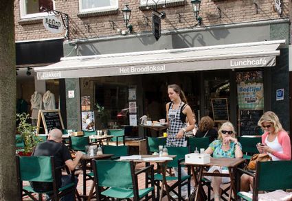
Slotlaan 247
3701 GG ZEIST -
Vianen Municipal Museum
Vianen Municipal Museum
Voorstraat 97
4132 AP Vianen -
Veenendaal Museum
Veenendaal Museum
3901 TP Veenendaal -
Ledig Erf
Ledig Erf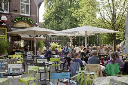
Tolsteegbrug 3
3511 ZN Utrecht -
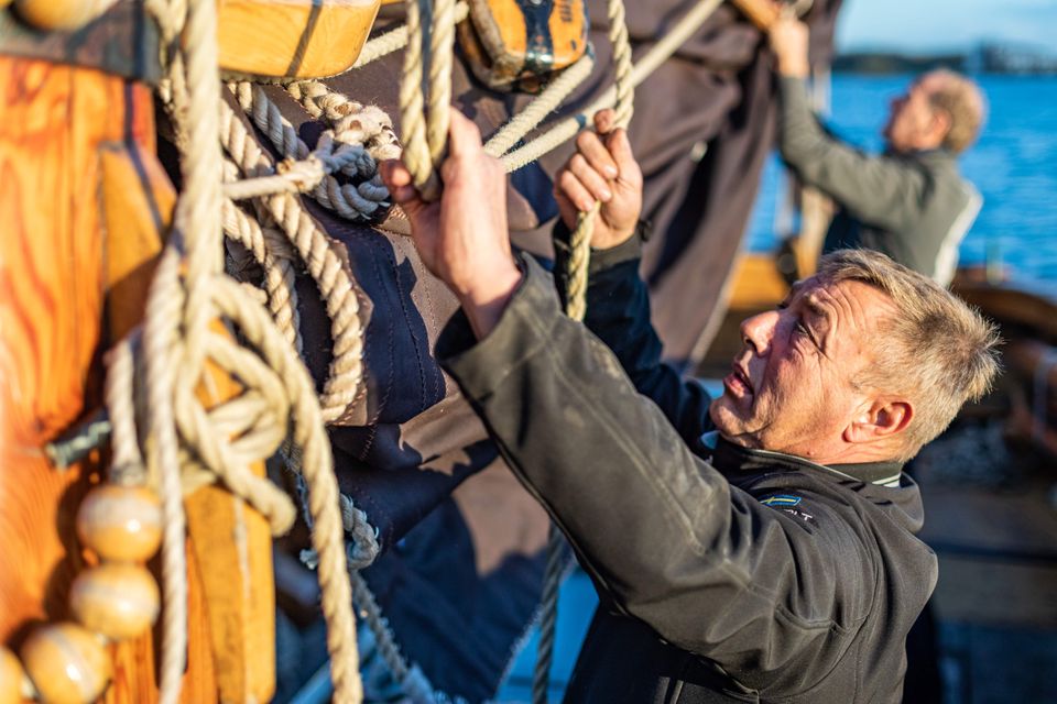
Spakenburg Harbour Museum
Spakenburg Harbour Museum
The Old Harbour, also known as the Harbour Museum, dates back to the 13th century. This harbour was built for the ships operated by the Zuiderzee fishermen.
Tap into the history of the fishing village of Spakenburg. Pay a visit to the museum harbour, where culture and traditions come together. Here you’ll find the oldest shipyard in the Netherlands where shipwrights are still hard at work every day, maintaining the world’s biggest fleet of ‘botters’, a special type of wooden, flat-bottomed fishing boat.
In the port of Spakenburg, you'll experience both culture and tradition. The jewel of Spakenburg's port – a museum in its own right – is the oldest shipyard in the Netherlands. From the port, you can see the shipbuilders at work. One-third of the entire Dutch fleet is moored at Spakenburg and you are welcome to come aboard!.
You can enjoy a one-hour sailing trip on a botter while listening to stories from the past, as the skipper lets you relax on the water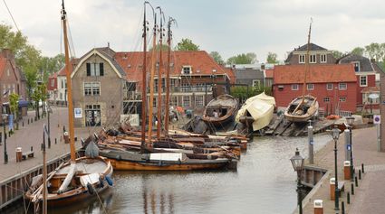
3752 AH Bunschoten-Spakenburg -
-
Allurepark De Zeven Linden
Allurepark De Zeven Linden
3744 BC Baarn -
TOP citypark Oudegein
TOP citypark Oudegein
3432 NE Nieuwegein -
Castle Slot Zuylen
Castle Slot Zuylen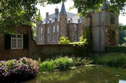
3611 AS Oud Zuilen -
Muurhuizen (Wallhouses)
Muurhuizen (Wallhouses)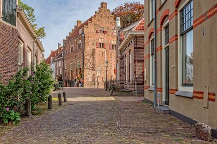
3811 Amersfoort -
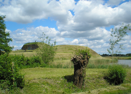
Blokhoven inundation area
Blokhoven inundation area
The Blokhoven polder flood plain is situated behind the Achterdijk in Schalkwijk. During heavy rainfall, it can collect up to 23,000 m3 of water to prevent Schalkwijk from being flooded. This volume is equivalent to around 10 Olympic swimming pools. The area is at the heart of the New Dutch Waterline. In the summer, the plain is flooded twice a month to illustrate the inundation principle for visitors. If heavy or prolonged rainfall is forecast, the water board may decide to forego the inundation, as the plain will be needed to collect excess water.

3998 NE Schalkwijk -
-
Werk aan de Waalse Wetering
Werk aan de Waalse Wetering
This defence work was built in 1875–1878 and comprises a bomb-proof outbuilding and a guardhouse.
In emergencies, it could harbour as many as 95 men.
The fort is freely accessible and boasts uninterrupted views of the island of Schalkwijk. The Verdronken Bos (drowned forest), where a wooden walkway takes you across the water, is a short walk away.
3999 NS Tull en 't Waal -
-
The Waterloo Needle
The Waterloo Needle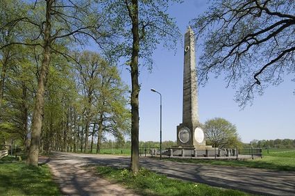
3742 CR Baarn -
Winkel van Sinkel
Winkel van Sinkel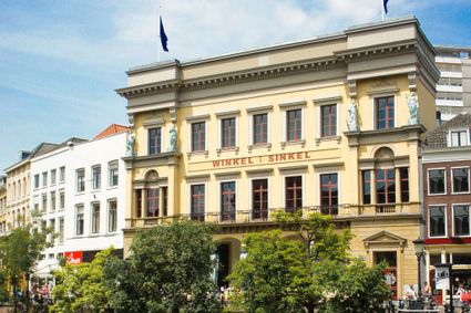
Oudegracht 158
3511 AZ Utrecht -
Koppelpoort (gate)
Koppelpoort (gate)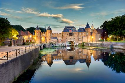
3811 MG Amersfoort