odp
241 to 264 of 299 locations
-
Inundation lock at Wijk bij Duurstede
Inundation lock at Wijk bij Duurstede
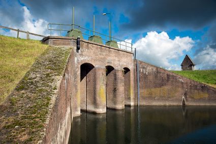
In 1870, the Kromme Rijn was given a key role in the New Dutch Waterline. Back then, it took almost a month to flood the area around Utrecht. This had to be speeded up. To this end, the river was widened, its bends were straightened and locks and dams were built. Near Wijk bij Duurstede, a large inundation lock was built that made Wijk bij Duurstede the ‘tap’ with which to turn on the New Dutch Waterline. This reduced the time needed to flood the inundation areas to between 4 and 12 days. The inlet is still used daily to transport fresh water to the city of Utrecht and the river Vecht.
3961CH Wijk bij Duurstede
-
-
Fort Abcoude
Fort Abcoude
1391 CG Abcoude
-
Peking Garden
Peking Garden
-
Diefdijk
Diefdijk
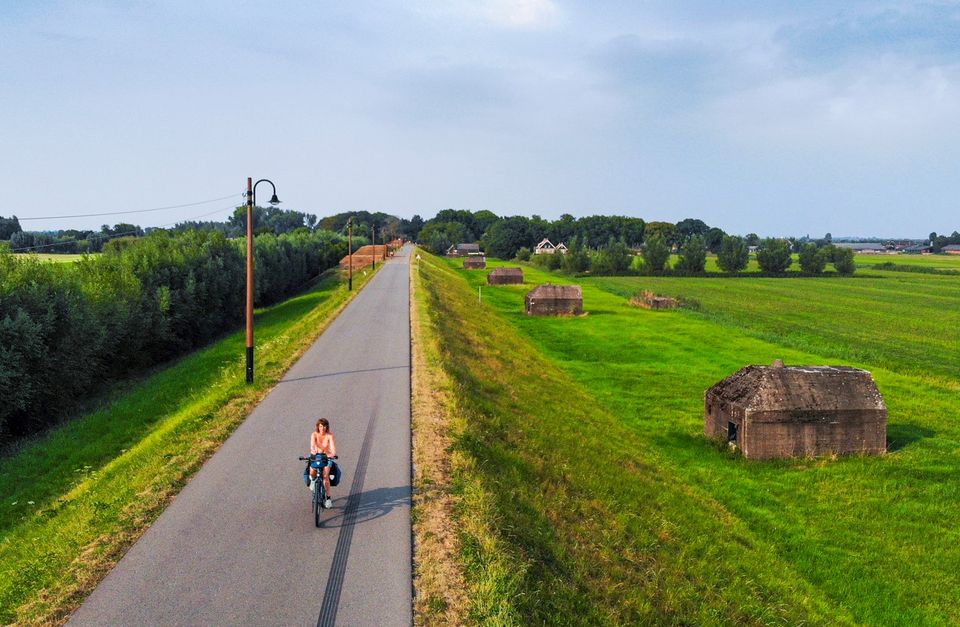
This centuries-old long dyke marks the border between the Betuwe to the east and the lowlands to the west. The purpose of the Diefdijk was to protect the lower-lying meadows whenever the higher Betuwe flooded. The dyke was reinforced in 2015 and still serves its purpose today. It was also part of the New Dutch Waterline: the area to the east of the dyke served as an inundation area. To this day, this area remains scarcely built up. Nature reserves of various sizes border the dyke on either side.

Diefdijk
4143 MG Leerdam
-
-
Henschoter lake
Henschoter lake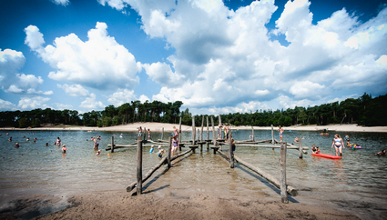
3931MK Woudenberg
-
Castle Groeneveld
Castle Groeneveld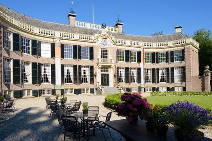
3744 ML Baarn
-
Fort de Batterijen
Fort de Batterijen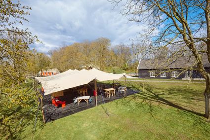
Overeindseweg 25
3439LP Nieuwegein
-
Soesterduinen Sand Dunes
Soesterduinen Sand Dunes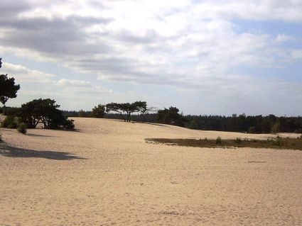
3786 MD Soest
-
Castellum Hoge Woerd
Castellum Hoge Woerd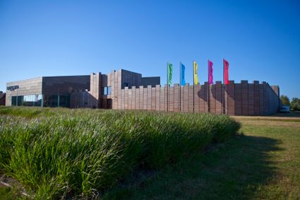
3454 PB De Meern
-
TOP Groeneveld Castle
TOP Groeneveld Castle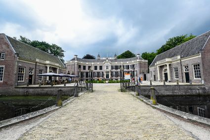
3744 ML Baarn
-
Geesberge country estate
Geesberge country estate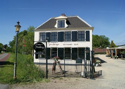
3601 NA Maarssen
-
Recreatiepark De Lucht
Recreatiepark De Lucht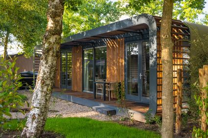
Barneveldsestraat 49
3927 CB Renswoude
-
Highland West Coelhorst
Highland West Coelhorst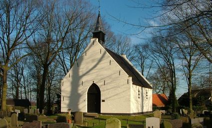
3828 PC Hoogland
-
Zeisterbos
Zeisterbos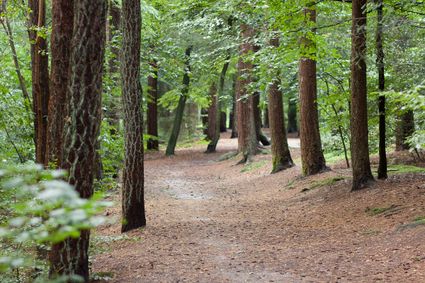
3708 BR Zeist
-
TOP Nationaal Tree museum Gimborn
TOP Nationaal Tree museum Gimborn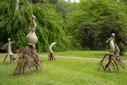
3941 BZ Doorn
-
Fortresses of the four Lunetten
Fortresses of the four Lunetten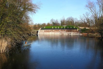
Oude Liesbosweg 68
3524 SB Utrecht
-
Slot Zeist
Slot Zeist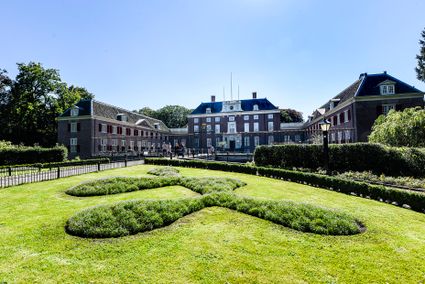
3703 CE Zeist
-
TOP Huis Doorn
TOP Huis Doorn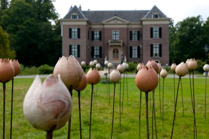
3941 MT Doorn
-
TOP City harbour Wijk bij Duurstede
TOP City harbour Wijk bij Duurstede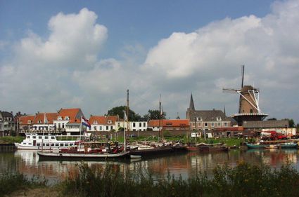
Havenweg
3961 AW Wijk bij Duurstede
-
Fort Uithoorn
Fort Uithoorn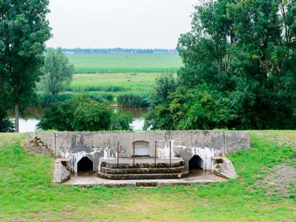
1427 AV Amstelhoek
-
Hotel 't Wapen van Harmelen
Hotel 't Wapen van Harmelen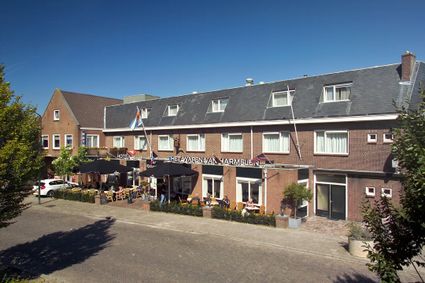
3481 EK Harmelen
-
Dutch Fortress Museum
Dutch Fortress Museum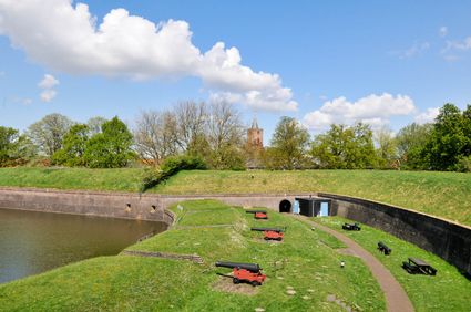
Westwalstraat 6
1411 PB Naarden
-
Fort Blauwkapel
Fort Blauwkapel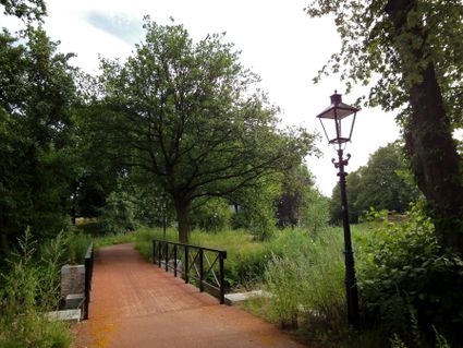
3566 MK Utrecht
-
Rijnauwen Fort
Rijnauwen Fort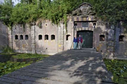
Vossegatsedijk 5
3981 HS Bunnik


