odp
49 to 72 of 302 locations
-
Koppelpoort Amersfoort
Koppelpoort Amersfoort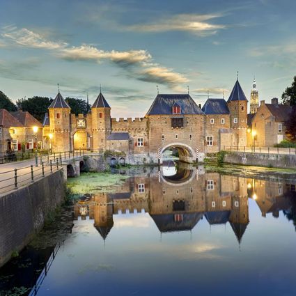
3811 MG Amersfoort -
Restaurant La Montagne
Restaurant La Montagne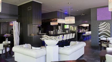
3911 SC Rhenen -
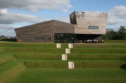
Werk aan het Spoel
Werk aan het Spoel
In 1815, a fan lock was built into the Lekdijk near Goilberdingen for inundation purposes. It was protected by an earthen battery. In 1848, the battery was upgraded to a fort. Later on, the inundation system was optimised, and four bomb-proof buildings were added to the fort. In peacetime, the road on top of the dyke ran right through the fort, but traffic was led around the fort in times of mobilisation. In 1939, seven concrete shelters and two machine gun casemates were added. An unusual feature is the high free-standing wall in a field to the south of the fort. This was the stop butt of a German firing range.
4106 LC Culemborg -
-
Bicycle Boat on the river Vecht
Bicycle Boat on the river Vecht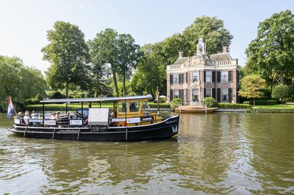
Rijksstraatweg 11
3631 AA Nieuwersluis -
Castle Tower in IJsselstein
Castle Tower in IJsselstein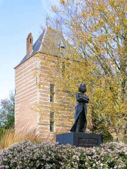
3401 BM IJsselstein -
Gagelbos
Gagelbos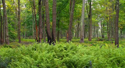
3566 MJ Utrecht -
The Lekpoort
The Lekpoort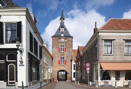
4132 AR Vianen -
TOP Leerdam
TOP Leerdam
Lingedijk 8
4142 LD Leerdam -
TOP Park Vliegbasis Soesterberg
TOP Park Vliegbasis Soesterberg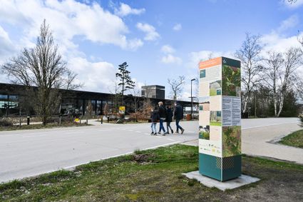
3768 MX Soest -
The Windotter windmill
The Windotter windmill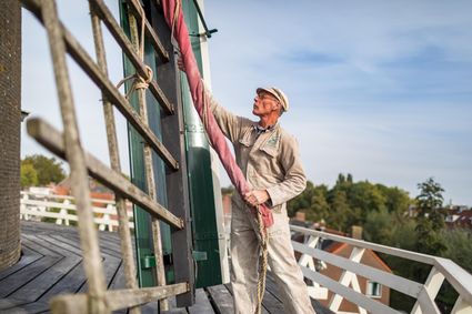
3401 DR IJsselstein -
Café-Restaurant-Hotel Buitenlust
Café-Restaurant-Hotel Buitenlust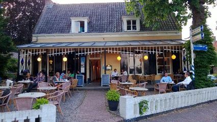
Burg. Jhr. H v.d. Boschstraat 13
3958 CA Amerongen -
Visitor Centre De Boswerf
Visitor Centre De Boswerf
3708 BR Zeist -
Landgoed Bredius
Landgoed Bredius
3443 BG Woerden -
TOP De Generaal
TOP De Generaal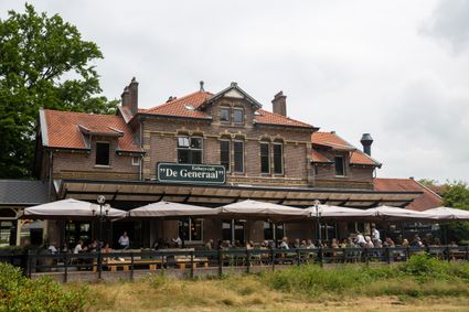
3743 JL Baarn -
Fort Tienhoven
Fort Tienhoven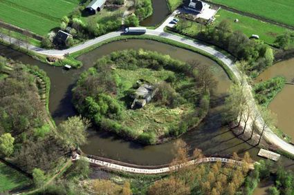
3612 NB Tienhoven -
Fort 't Hemeltje
Fort 't Hemeltje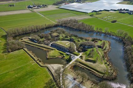
3992 LX Houten -
Leersumse Veld
Leersumse Veld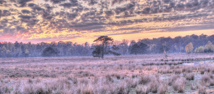
3956 KW LEERSUM -
Fort Nieuwersluis
Fort Nieuwersluis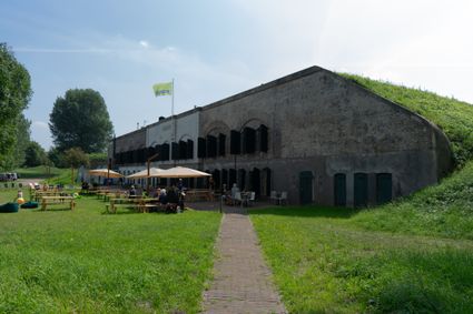
Rijksstraatweg 7b
3631 AA Nieuwersluis -
Henschoter lake
Henschoter lake
3931MK Woudenberg -
TOP De Kuil van Drakensteyn
TOP De Kuil van Drakensteyn
3749 AW Lage Vuursche -
Restaurant-Chalet Klein Zwitserland
Restaurant-Chalet Klein Zwitserland
3971 GM Driebergen-Rijsenburg -
Fort Jutphaas
Fort Jutphaas
Fort Jutphaas 3
3439 LX Nieuwegein -
Grebbe Line Visitor's Centre
Grebbe Line Visitor's Centre
Buursteeg 2
3927EJ Renswoude -
The Green House
The Green House
3822 NA Amersfoort
