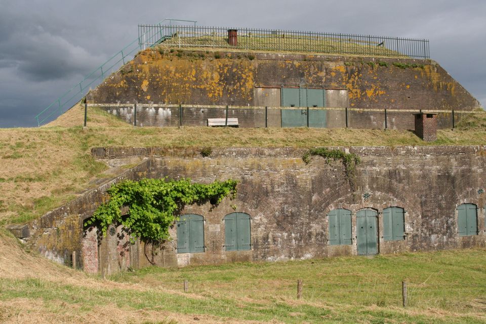
odp
97 to 120 of 298 locations
-
Café-Restaurant De Lage Vuursche
Café-Restaurant De Lage Vuursche
3749 AD Lage Vuursche
-
Hoeve Ravenstein
Hoeve Ravenstein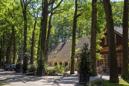
3744 ML Baarn
-
RAUM
RAUM
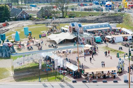
RAUM is an oasis in the new city, in the heart of Leidsche Rijn Center, where you can create, imagine and question the future of the city through art & design.
The city is a source of knowledge, skills, creativity and resources. In order to unlock that source, you must stimulate interaction between people and the environment. RAUM does this by stimulating through cultural experiment. And that provides new insights. Stories are made and told at RAUM. It is a place where art and design show the challenges of our city. A place that gives shape to the residents' solidarity with their city.
3541 CM Utrecht
-
-
TOP Huis Doorn
TOP Huis Doorn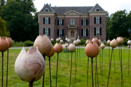
3941 MT Doorn
-
Fort Werk aan de Groeneweg
Fort Werk aan de Groeneweg
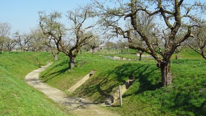
Walking through the historic trenches of Werk aan de Groeneweg is like a walk back in time. The defence structure still has its original configuration. The infantry set-up in World War One consisted of a double trench with earthen walls, 55 group shelters and lovely fruit trees.
The grounds are a fantastic playground for children. You can have a great time here roaming around, crawling through a trench, playing hide and seek and participating in an exciting search and experience walk of about 2 km, with soldier Vendrik as your guide.
3998 Schalkwijk
-
-
National Military Museum
National Military Museum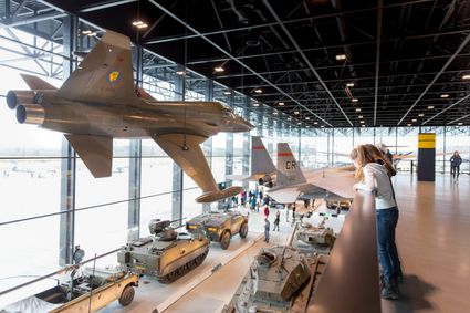
Verlengde Paltzerweg 1
3768 MX Soest
-
TOP Rhenen-Center
TOP Rhenen-Center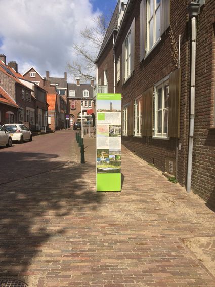
3911 LD Rhenen
-
Groene Entree & recreatie Doornse Gat
Groene Entree & recreatie Doornse Gat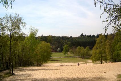
3941 MN DOORN
-
Plofsluis
Plofsluis
The Plofsluis consists of five concrete bins with a relatively weak floor that span the Amsterdam-Rhine Canal. The bins could store around 40,000 tonnes of sand, gravel or debris. In wartime, the floor could be blow up, so that its contents would drop into the Amsterdam-Rhine Canal. This would block the canal and prevent the inundation water from flowing out. The lock was designed in such a way that its sides would remain upright after the explosion, so that the floor could be reconstructed and the sluice could be used again. It was never actually used.
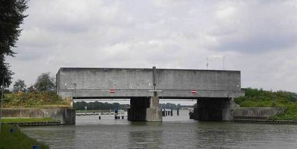
3439 LS Nieuwegein
-
-
Museum Spakenburg
Museum Spakenburg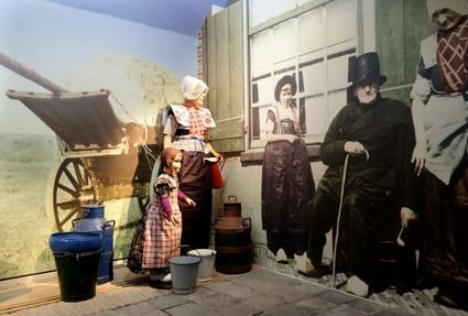
3752 AH Bunschoten-Spakenburg
-
TOP Leerdam
TOP Leerdam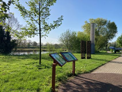
Lingedijk 8
4142 LD Leerdam
-
TOP Fort bij Vechten
TOP Fort bij Vechten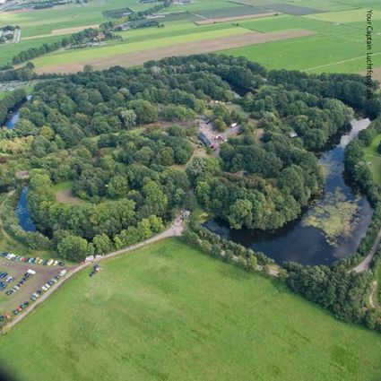
Achterdijk 12
3981 HB Bunnik
-
Bicycle Boat, stop NIeuwersluis
Bicycle Boat, stop NIeuwersluis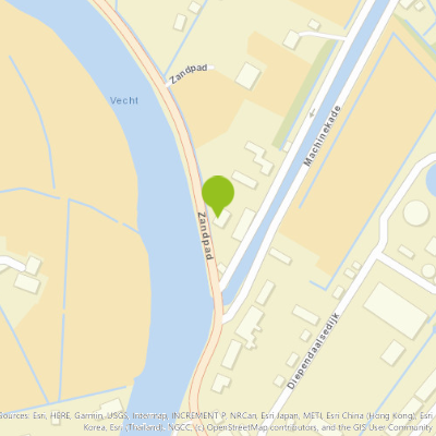
zandpad 23
3601NA Maarssen
-
Fort Waver-Amstel
Fort Waver-Amstel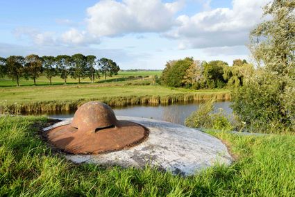
3646 AS Nessersluis
-
Visitor Centre De Boswerf
Visitor Centre De Boswerf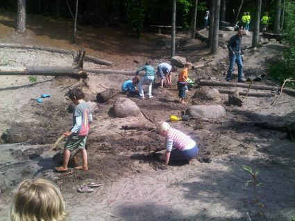
3708 BR Zeist
-
TOP Vianen, Ponthoeve
TOP Vianen, Ponthoeve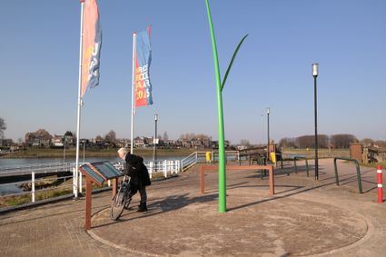
Buitenstad 69
4132 AB Vianen
-
Fort Uithoorn
Fort Uithoorn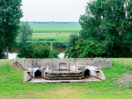
1427 AV Amstelhoek
-
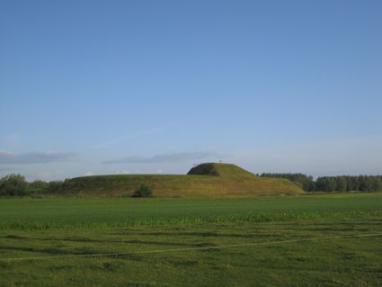
Werk aan de Waalse Wetering
Werk aan de Waalse Wetering
This defence work was built in 1875–1878 and comprises a bomb-proof outbuilding and a guardhouse.
In emergencies, it could harbour as many as 95 men.
The fort is freely accessible and boasts uninterrupted views of the island of Schalkwijk. The Verdronken Bos (drowned forest), where a wooden walkway takes you across the water, is a short walk away.
3999 NS Tull en 't Waal
-
-
Allurepark De Zeven Linden
Allurepark De Zeven Linden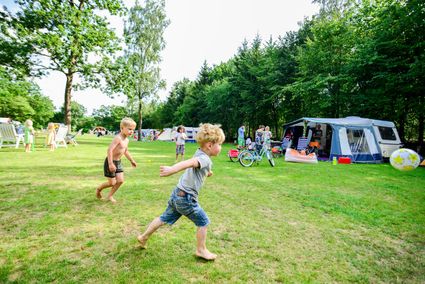
3744 BC Baarn
-
Landgoed Zuylestein
Landgoed Zuylestein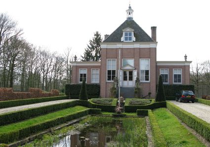
3956 CH Leersum
-
Eethuys-Café De Generaal - Baarn
Eethuys-Café De Generaal - Baarn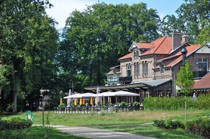
3743 JL Baarn
-
Museum Hoge Woerd
Museum Hoge Woerd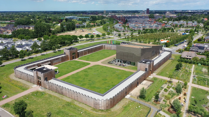
3454 PB De Meern
-
Grebbe Line Visitor's Centre
Grebbe Line Visitor's Centre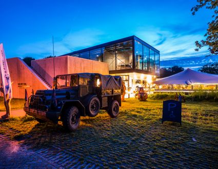
3927EJ Renswoude
-
Veenendaal Museum
Veenendaal Museum
3901 TP Veenendaal


