odp
217 to 240 of 298 locations
-
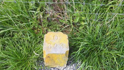
Boundary posts
Boundary posts
In around 1875, the Ministry of War erected some 350 boundary posts along the length of the Kromme Rijn. The blue stone posts, marked with the letter O (for Oorlog, the Dutch word for war) and a number, marked the new route for transporting water to the New Dutch Waterline. The posts used to line up with plot boundaries. Many have been removed over the years, but the water board has returned 18 of them to their original location along the towpath between Werkhoven and Odijk following the construction of an environmentally friendly riverbank.
Odijk -
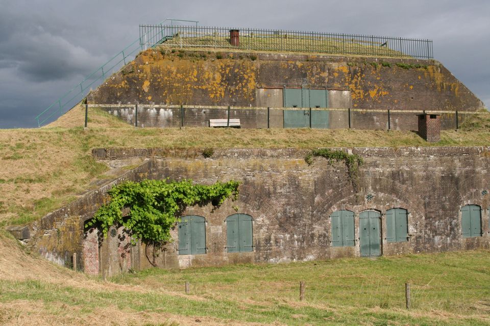
Rijnauwen Fort
Rijnauwen Fort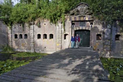
Vossegatsedijk 5
3981 HS Bunnik -
Fort aan de Klop
Fort aan de Klop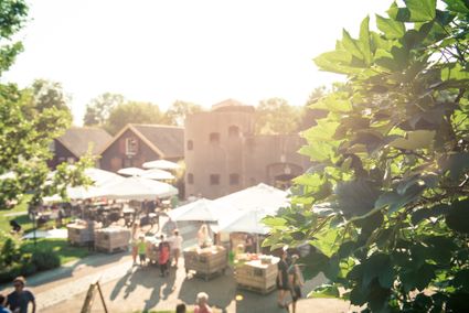
3563 MC Utrecht -
Boerderij het Gagelgat: Boerderij van 't Jaar!
Boerderij het Gagelgat: Boerderij van 't Jaar!
3768 HD Soest -
Castellum Hoge Woerd
Castellum Hoge Woerd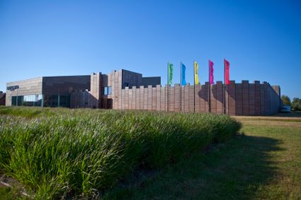
3454 PB De Meern -
The Lekpoort
The Lekpoort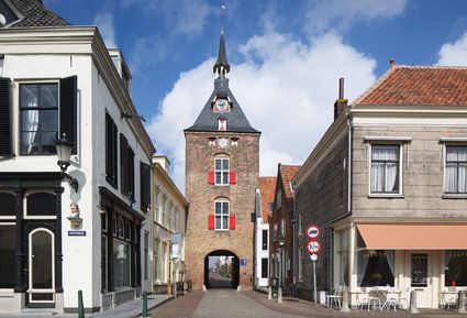
4132 AR Vianen -
Utrecht City Hall
Utrecht City Hall
Stadhuisbrug 1
3511 JK Utrecht -
Rijnauwen Fort
Rijnauwen Fort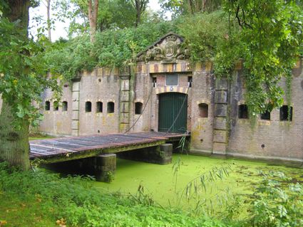
Vossegatsedijk 5
3981 HS Bunnik -
Het Monnikenbos
Het Monnikenbos
Birkstraat 150
3768 HP SOEST -
Glass studio
Glass studio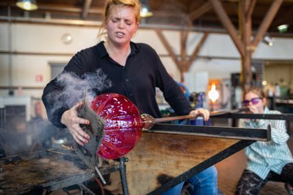
Zuidwal
4141 BE Leerdam -
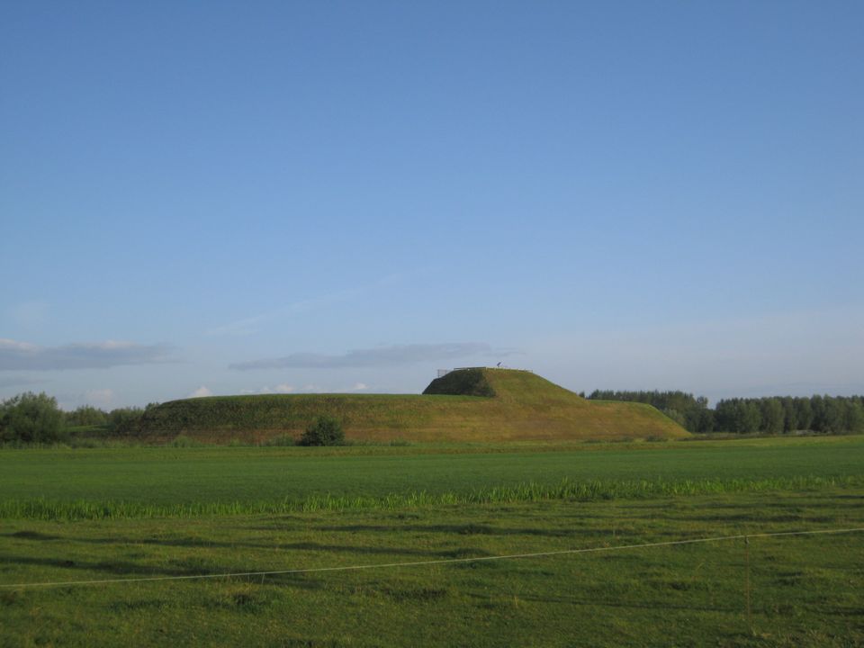
Werk aan de Waalse Wetering
Werk aan de Waalse Wetering
This defence work was built in 1875–1878 and comprises a bomb-proof outbuilding and a guardhouse.
In emergencies, it could harbour as many as 95 men.
The fort is freely accessible and boasts uninterrupted views of the island of Schalkwijk. The Verdronken Bos (drowned forest), where a wooden walkway takes you across the water, is a short walk away.
3999 NS Tull en 't Waal -
TOP Maarsseveense Plassen
TOP Maarsseveense Plassen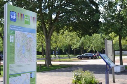
3602 AN Maarssen -
The Monnikendam
The Monnikendam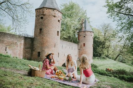
3811 HH Amersfoort -
Fort Jutphaas
Fort Jutphaas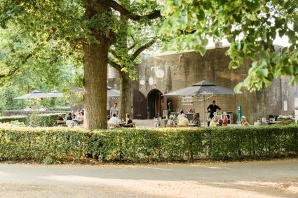
Fort Jutphaas 3
3439 LX Nieuwegein -
TOP Island of Schalkwijk
TOP Island of Schalkwijk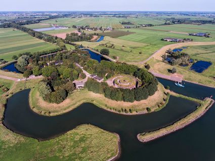
3998 JE Schalkwijk -
Eemlandhoeve
Eemlandhoeve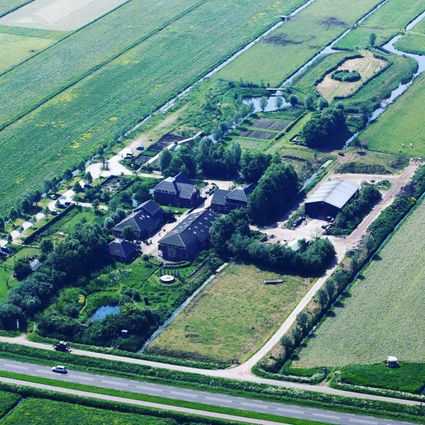
3752 LK Bunschoten-Spakenburg -
Breukelen
Breukelen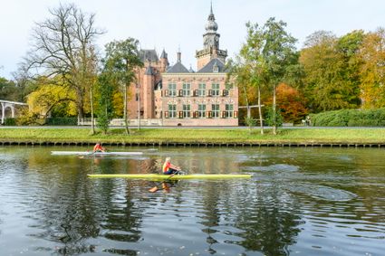
-
Asschatterkeerkade
Asschatterkeerkade
The Asschatterkade dates from 1745, and is one of the longest trenches of the Grebbelinie, with its length of 2500 metres. The trench from 1799 lies east of Leusden, at the edge of the flood plain. But there are also elements from more recent history which can be found.
The nine visible military bunkers, for example, were built during the mobilisation between 1939-1940. There is also a unique concrete tank barrier from this time. During the May Days of 1940, the Germans attempted in vain to break through the defences.
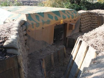
3831 JP Leusden -
National Glass Museum & Glass studio
National Glass Museum & Glass studio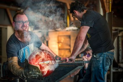
4142 LD Leerdam -
Landgoed Ginkelduin
Landgoed Ginkelduin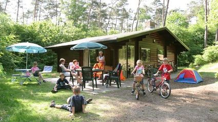
3956 KD Leersum -
Geertje’s Hoeve
Geertje’s Hoeve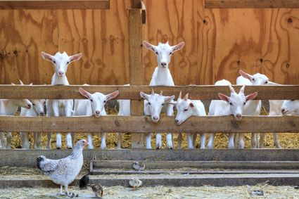
Thematerweg 5
3455 SM Utrecht -
The Amersfoort Boulder
The Amersfoort Boulder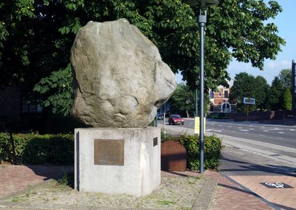
3800 Amersfoort -
TOP Fort at the Buursteeg
TOP Fort at the Buursteeg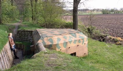
3927EJ Renswoude -
Rijn en Zon corn mill in the Vogelenbuurt
Rijn en Zon corn mill in the Vogelenbuurt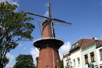
3524 CE Utrecht