odp
241 to 264 of 294 locations
-
The Amersfoort Boulder
The Amersfoort Boulder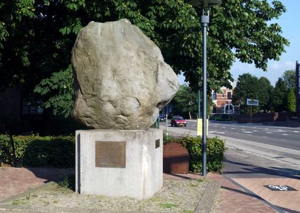
3800 Amersfoort -
Fort Everdingen aan de Lek
Fort Everdingen aan de Lek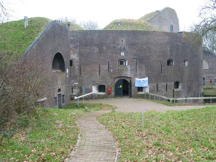
4121 KK Everdingen -
Beauforthuis
Beauforthuis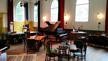
3711 AB Austerlitz -
Pannenkoekenhuis Bergzicht
Pannenkoekenhuis Bergzicht
3931 MH Woudenberg -
Schaapskooi Heidestein
Schaapskooi Heidestein
Hoog Kanje 186
3708 XA Zeist -
Soesterduinen
Soesterduinen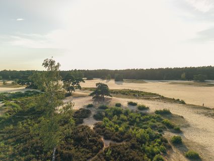
Foekenlaan 25
3768 BJ Soest -
Culture Factory
Culture Factory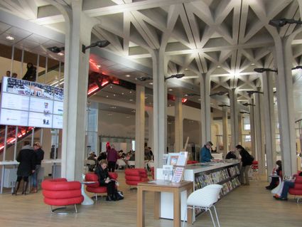
3901 TP Veenendaal -
Papal house
Papal house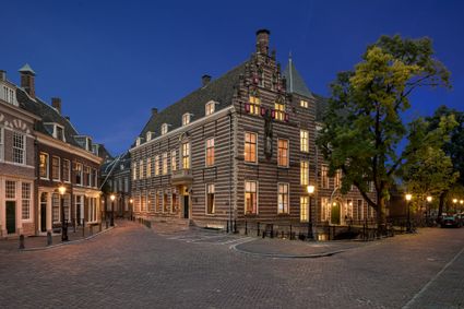
3512 HE Utrecht -
Tabaksschuur Amerongen
Tabaksschuur Amerongen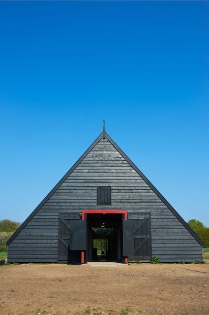
3958 ET Amerongen -
TOP Linschoten
TOP Linschoten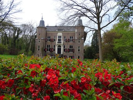
Noord Linschoterdijk 1 (tegenover nr. 1)
Linschoten -
Rijnauwen Fort
Rijnauwen Fort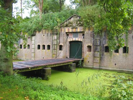
Vossegatsedijk 5
3981 HS Bunnik -
Fort Jutphaas
Fort Jutphaas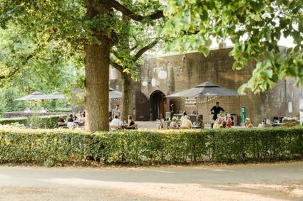
Fort Jutphaas 3
3439 LX Nieuwegein -
Asschatterkeerkade
Asschatterkeerkade
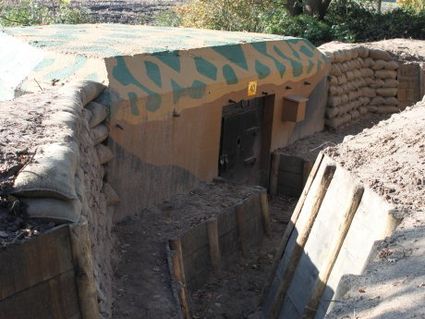
The Asschatterkade dates from 1745, and is one of the longest trenches of the Grebbelinie, with its length of 2500 metres. The trench from 1799 lies east of Leusden, at the edge of the flood plain. But there are also elements from more recent history which can be found.
The nine visible military bunkers, for example, were built during the mobilisation between 1939-1940. There is also a unique concrete tank barrier from this time. During the May Days of 1940, the Germans attempted in vain to break through the defences.
3831 JP Leusden -
-
Mill "Den Olden Florus"
Mill "Den Olden Florus"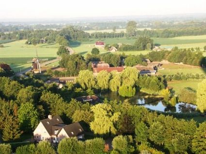
3784 VE Terschuur -
De Wildenburg pancake farm
De Wildenburg pancake farm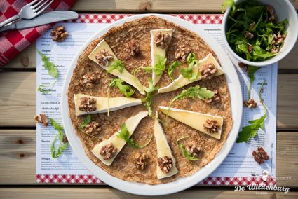
3744 MK Baarn -
Naarden Vesting
Naarden Vesting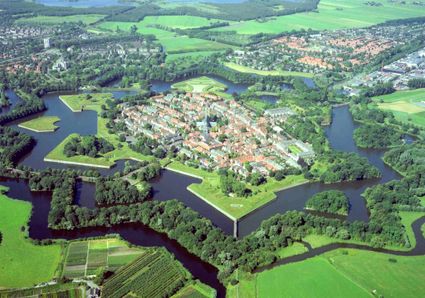
Ruijsdaelplein 10
1411 EA Naarden-Vesting -
Landgoed Ginkelduin
Landgoed Ginkelduin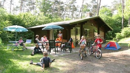
3956 KD Leersum -
Het Monnikenbos
Het Monnikenbos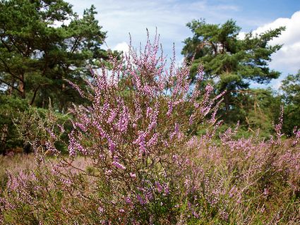
Birkstraat 150
3768 HP SOEST -
Bicycle Boat, stop NIeuwersluis
Bicycle Boat, stop NIeuwersluis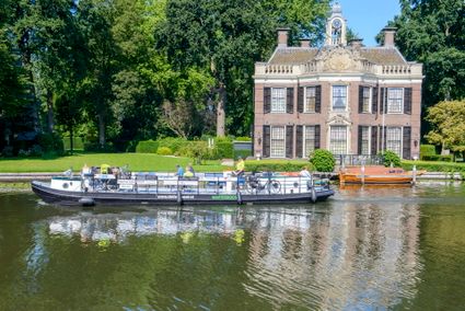
zandpad 9
3631 NK Nieuwersluis -
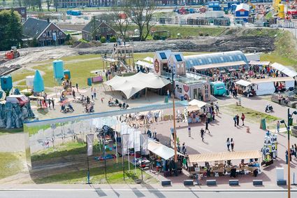
RAUM
RAUM
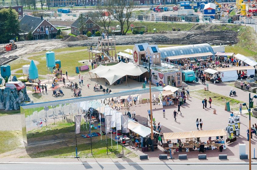
RAUM is an oasis in the new city, in the heart of Leidsche Rijn Center, where you can create, imagine and question the future of the city through art & design.
The city is a source of knowledge, skills, creativity and resources. In order to unlock that source, you must stimulate interaction between people and the environment. RAUM does this by stimulating through cultural experiment. And that provides new insights. Stories are made and told at RAUM. It is a place where art and design show the challenges of our city. A place that gives shape to the residents' solidarity with their city.
3541 CM Utrecht -
-
Gagelbos
Gagelbos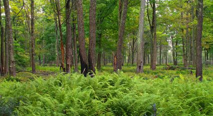
3566 MJ Utrecht -
Vianen Municipal Museum
Vianen Municipal Museum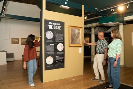
Voorstraat 97
4132 AP Vianen -
City castle Oudaen
City castle Oudaen
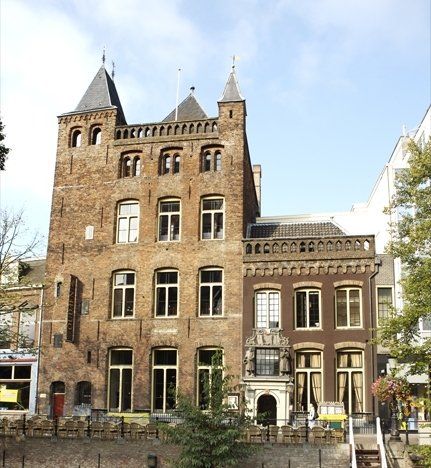
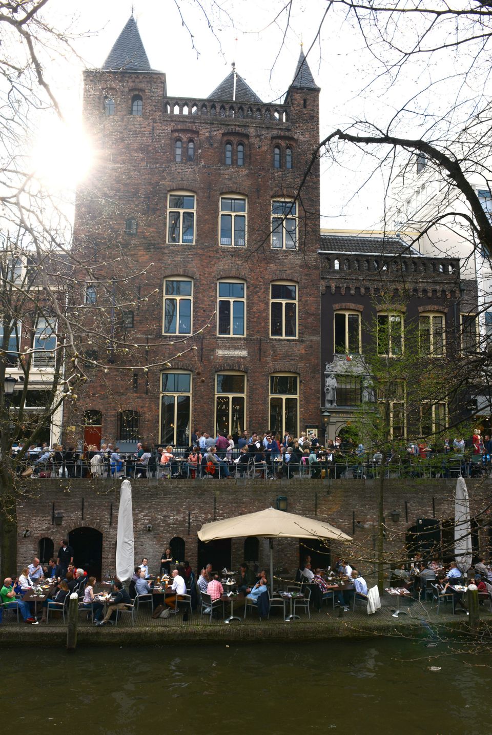
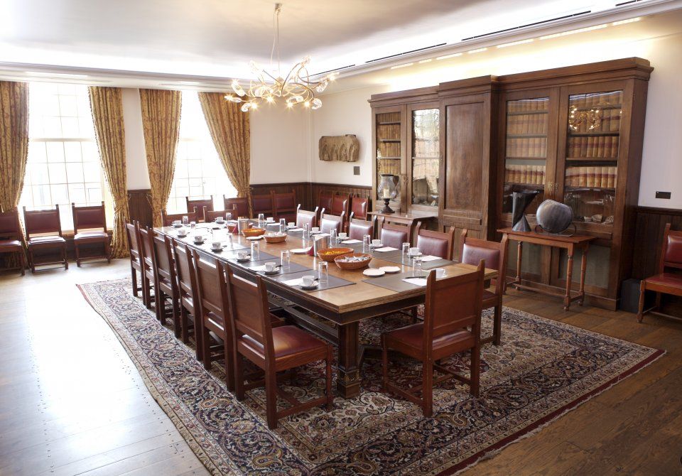
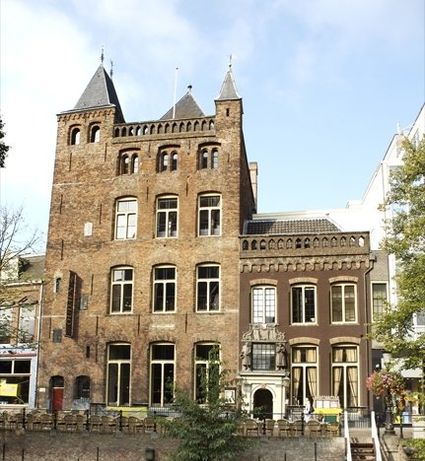
A monumental building from 1276 with its own brewery and a number of conference rooms, among other things.
In or around the year 1276, the Zoudenbalch family commissioned the construction of this so-called city castle. The building was entirely made of bricks, turning it into some kind of defence house. In 1395, the building got into the hands of the Oudaen family who named it after themselves. From 1758 until 1965 it was used as an old folks' home. After that, it was briefly in the possession of a student association. Since 1986, Oudaen is being used as a catering establishment.
3511 AE Utrecht -
-
Fort aan de Klop
Fort aan de Klop
3563 MC Utrecht