odp
121 to 144 of 298 locations
-
Vianen Municipal Museum
Vianen Municipal Museum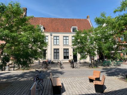
Voorstraat 97
4132 AP Vianen -
Restaurant De Dennen
Restaurant De Dennen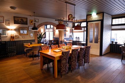
3927 AW Renswoude -
TOP Fort bij Vechten
TOP Fort bij Vechten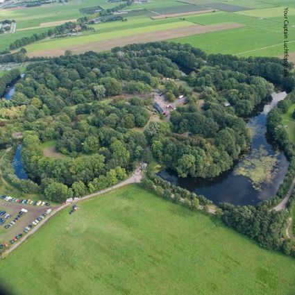
Achterdijk 12
3981 HB Bunnik -
TOP Island of Schalkwijk
TOP Island of Schalkwijk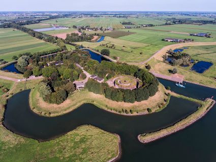
3998 JE Schalkwijk -
St. Joriskerk (Church)
St. Joriskerk (Church)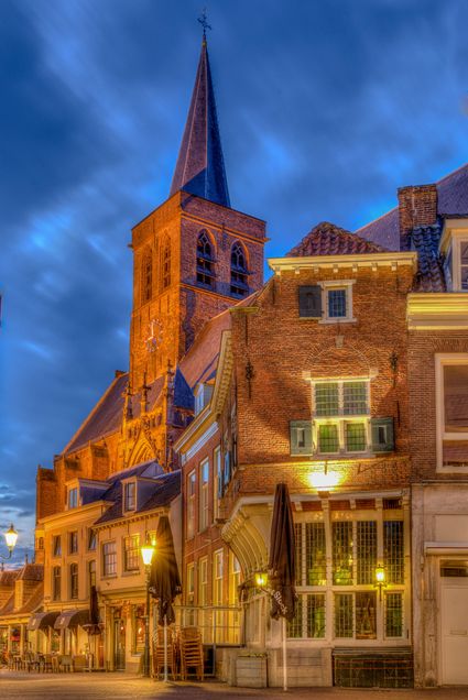
Hof 1
3811 CJ Amersfoort -
Landgoed Zuylestein
Landgoed Zuylestein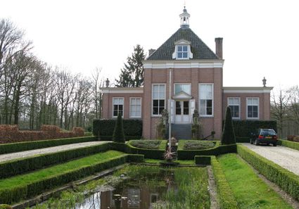
3956 CH Leersum -
Keuris distillery
Keuris distillery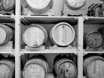
3449 HJ Woerden -
TOP Ameide
TOP Ameide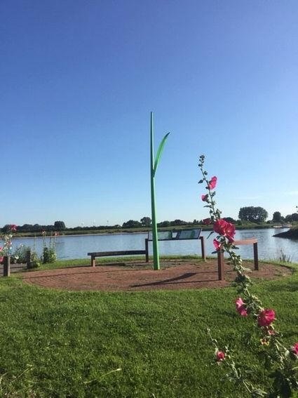
4233CL Ameide -
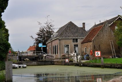
Goejanverwelle lock
Goejanverwelle lock
The Goejanverwelle lock and the Enkele Wiericke lock on the Hollandse Ijssel played a key role in the Disaster Year. Together with the lock at Nieuwerbrug on the Oude Rijn, they formed the inlet to the Langeweide polder, which was the narrowest section of the Waterline. The locks were opened on 17 June 1672 – just in time to halt the advance of the French, who had already captured Oudewater and marched right up to the edge of the hastily flooded Waterline. With great promptitude, the commander of the garrison at Goejanverwelle, the Count of Horn, gave the order to raise sconces and fortifications to defend the locks. For the moment, the Waterline was safe!
3467 PR Hekendorp -
-
TOP Huis Doorn
TOP Huis Doorn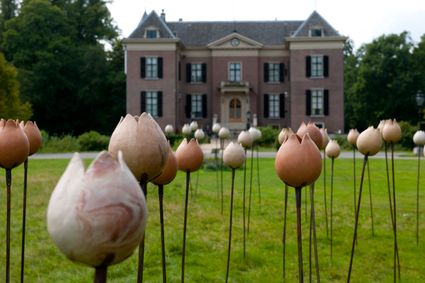
3941 MT Doorn -
Fort Nieuwersluis
Fort Nieuwersluis
3631 AA Nieuwersluis -
Bicycle Boat, Maarssen
Bicycle Boat, Maarssen
Zandweg 44 (tegenover nr. 44)
3601AE Maarssen -
De Vriendschap windmill
De Vriendschap windmill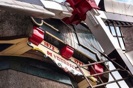
Nieuweweg 109
3905 LJ Veenendaal -
Windmill Windhond
Windmill Windhond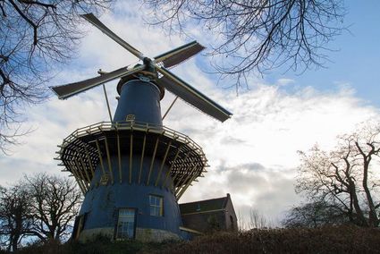
3447 GR Woerden -
TOP teahouse Mon Chouette
TOP teahouse Mon Chouette
3831 JZ Leusden -
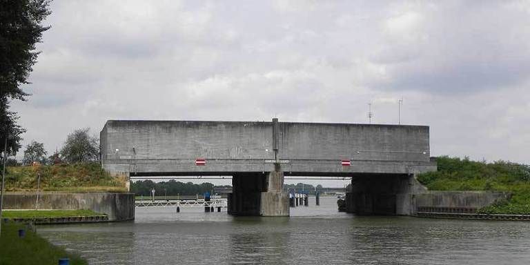
Plofsluis
Plofsluis
The Plofsluis consists of five concrete bins with a relatively weak floor that span the Amsterdam-Rhine Canal. The bins could store around 40,000 tonnes of sand, gravel or debris. In wartime, the floor could be blow up, so that its contents would drop into the Amsterdam-Rhine Canal. This would block the canal and prevent the inundation water from flowing out. The lock was designed in such a way that its sides would remain upright after the explosion, so that the floor could be reconstructed and the sluice could be used again. It was never actually used.
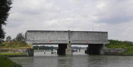
3439 LS Nieuwegein -
-
Buiten in de Kuil - Lage Vuursche
Buiten in de Kuil - Lage Vuursche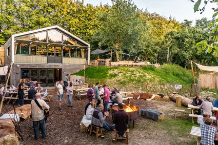
3749 AW Lage Vuursche -
Boundary posts
Boundary posts
In around 1875, the Ministry of War erected some 350 boundary posts along the length of the Kromme Rijn. The blue stone posts, marked with the letter O (for Oorlog, the Dutch word for war) and a number, marked the new route for transporting water to the New Dutch Waterline. The posts used to line up with plot boundaries. Many have been removed over the years, but the water board has returned 18 of them to their original location along the towpath between Werkhoven and Odijk following the construction of an environmentally friendly riverbank.
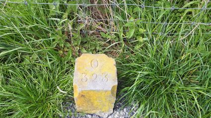
Odijk -
-
Eethuys-Café De Generaal - Baarn
Eethuys-Café De Generaal - Baarn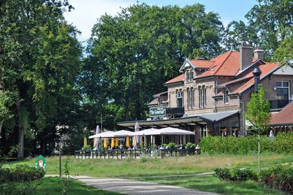
3743 JL Baarn -
Bungalowpark 't Eekhoornnest
Bungalowpark 't Eekhoornnest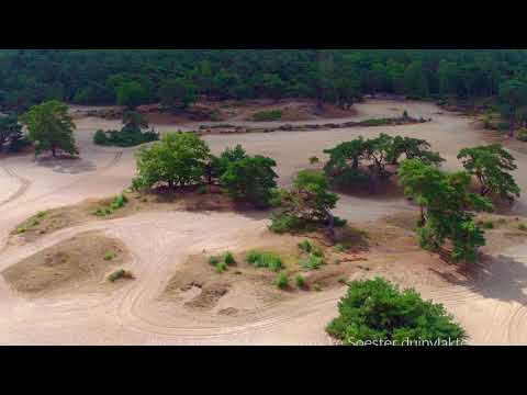
3768 HL Soest -
TOP Linschoten
TOP Linschoten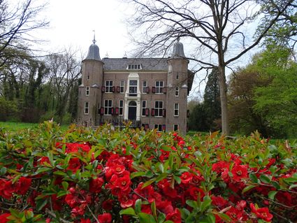
Noord Linschoterdijk 1 (tegenover nr. 1)
Linschoten -
Utrechtse Heuvelrug National Park
Utrechtse Heuvelrug National Park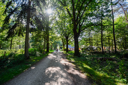
-
Bijzondere Taarten Fabriek
Bijzondere Taarten Fabriek
Zeist -
Wineyard Hoog Beek & Royen
Wineyard Hoog Beek & Royen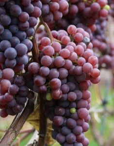
3708JA Zeist