odp
169 to 192 of 302 locations
-
Fort Waver-Amstel
Fort Waver-Amstel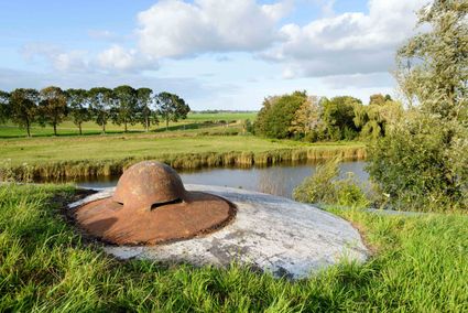
3646 AS Nessersluis -
Batteries on the Karnemelksloot
Batteries on the Karnemelksloot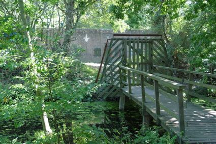
Verlengde Fortlaan 116
1411 EA Naarden -
TOP Museum Spakenburg
TOP Museum Spakenburg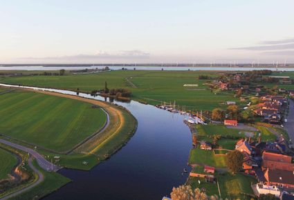
Spakenburg -
Fort on the Ossenmarkt
Fort on the Ossenmarkt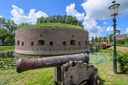
Ossenmarkt 44
1381 LX Weesp -
TOP De Schammer
TOP De Schammer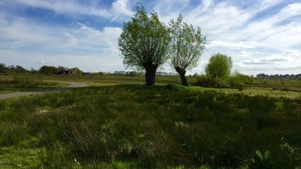
3835 PT Stoutenburg -
TOP trainstation Driebergen-Zeist
TOP trainstation Driebergen-Zeist
Stationsplein, Driebergen
3972 NG Driebergen Rijsenburg -
Fort Vreeswijk
Fort Vreeswijk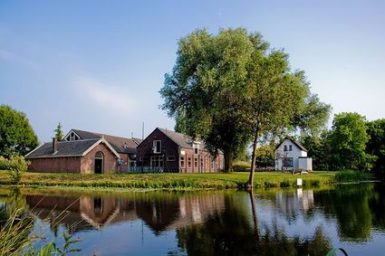
3433 ZZ Nieuwegein -
Proeverij de Azijnmakerij
Proeverij de Azijnmakerij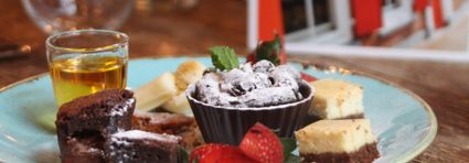
Zeist -
TOP Winkelpolder, Vinkeveen
TOP Winkelpolder, Vinkeveen
3645AP Vinkeveen -
Landgoed Ginkelduin
Landgoed Ginkelduin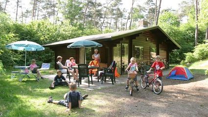
3956 KD Leersum -
Highland West Coelhorst
Highland West Coelhorst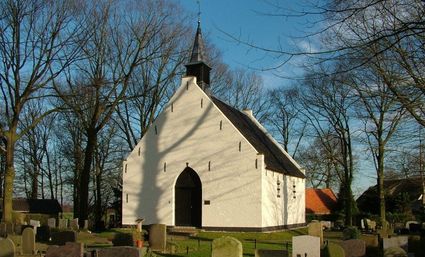
3828 PC Hoogland -
Sawmill De Ster
Sawmill De Ster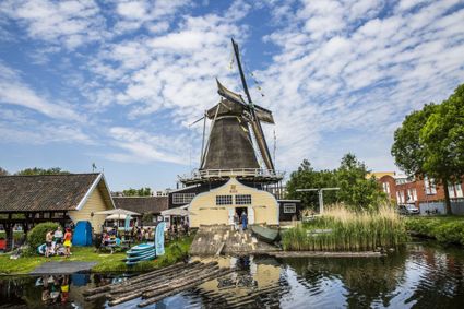
3531 ET Utrecht -
Fort de Gagel
Fort de Gagel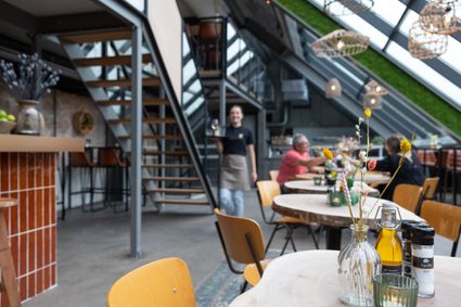
3566 MJ Utrecht -
Linschoten country Estate
Linschoten country Estate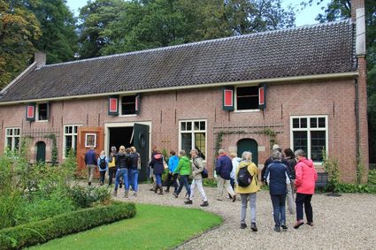
3461 AC Linschoten -
Soesterduinen
Soesterduinen
Foekenlaan 25
3768 BJ Soest -
Bicycle Boat, stop NIeuwersluis
Bicycle Boat, stop NIeuwersluis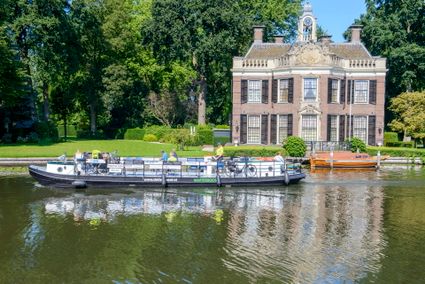
zandpad 9
3631 NK Nieuwersluis -
Papal house
Papal house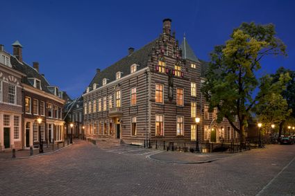
3512 HE Utrecht -
Utrecht City Hall
Utrecht City Hall
Stadhuisbrug 1
3511 JK Utrecht -
TOP Huis Doorn
TOP Huis Doorn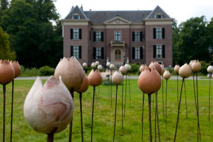
3941 MT Doorn -
Bike boat Loosdrecht
Bike boat Loosdrecht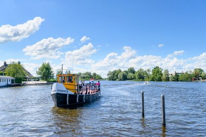
Oud-Loosdrechtsedijk
1231 LW Loosdrecht -
TOP Vinkeveense Plassen, Vinkeveen
TOP Vinkeveense Plassen, Vinkeveen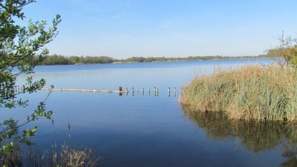
3645DA Vinkeveen -
De Kastanjeboom
De Kastanjeboom
3751 LC Bunschoten -
Country Estate Bergse Bossen***
Country Estate Bergse Bossen***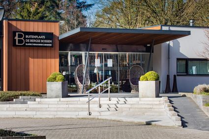
3971 GM Driebergen-Rijsenburg -
TOP Oortjespad
TOP Oortjespad
Oortjespad
3471HD Kamerik