odp
217 to 240 of 299 locations
-
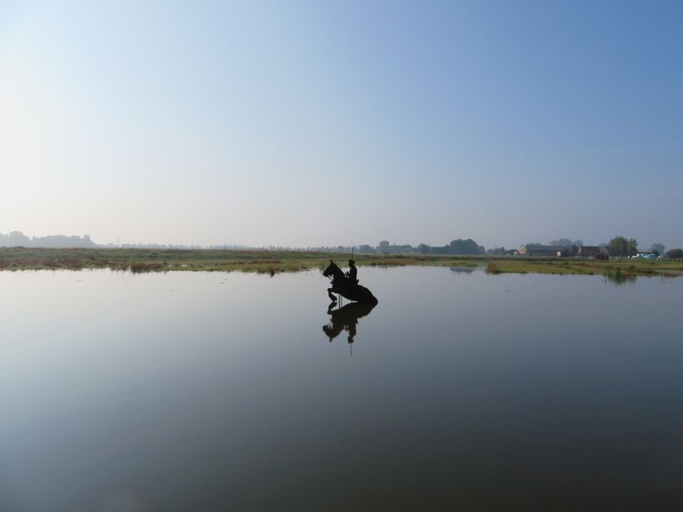
Henschoter lake
Henschoter lake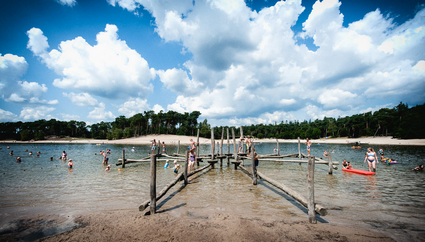
3931MK Woudenberg -
Bicycle Boat, stop Breukelen
Bicycle Boat, stop Breukelen
Herenstraat 41
3621AP Breukelen -
TOP Fort at the Buursteeg
TOP Fort at the Buursteeg
3927EJ Renswoude -
National Military Museum
National Military Museum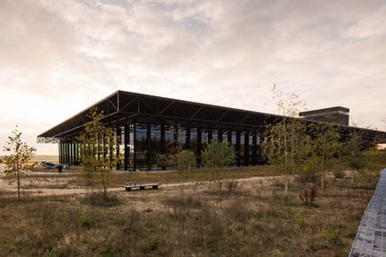
3768 MX Soest -
Windmill Ter Leede
Windmill Ter Leede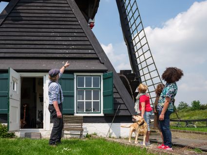
Provinciale weg 2
4142 LD Leerdam -
Papal house
Papal house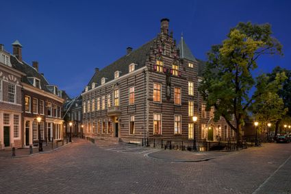
3512 HE Utrecht -
Leersumse Veld
Leersumse Veld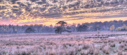
3956 KW LEERSUM -
TOP De Schammer
TOP De Schammer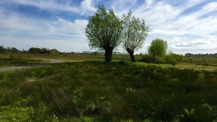
3835 PT Stoutenburg -
Brouwerij Maximus
Brouwerij Maximus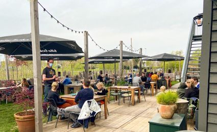
3454 NA Utrecht -
Fort Abcoude
Fort Abcoude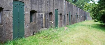
1391 CG Abcoude -
Glass studio
Glass studio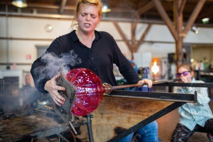
Zuidwal
4141 BE Leerdam -
The Monnikendam
The Monnikendam
3811 HH Amersfoort -
TOP De Dennen
TOP De Dennen
3927AW Renswoude -
Soesterberg Park Air Base
Soesterberg Park Air Base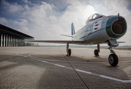
3768 MX Soest -
Boundary posts
Boundary posts
In around 1875, the Ministry of War erected some 350 boundary posts along the length of the Kromme Rijn. The blue stone posts, marked with the letter O (for Oorlog, the Dutch word for war) and a number, marked the new route for transporting water to the New Dutch Waterline. The posts used to line up with plot boundaries. Many have been removed over the years, but the water board has returned 18 of them to their original location along the towpath between Werkhoven and Odijk following the construction of an environmentally friendly riverbank.
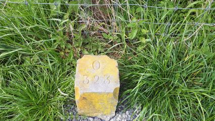
Odijk -
Breukelen
Breukelen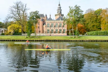
-
Bicycle Boat, stop NIeuwersluis
Bicycle Boat, stop NIeuwersluis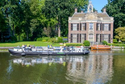
zandpad 9
3631 NK Nieuwersluis -
Climb the Tower
Climb the Tower
3811 BN Amersfoort -
Renswoude Castle
Renswoude Castle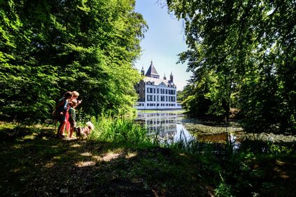
3927BA Renswoude -
Tabaksschuur Amerongen
Tabaksschuur Amerongen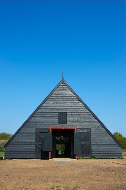
3958 ET Amerongen -
Blokhoven inundation area
Blokhoven inundation area
The Blokhoven polder flood plain is situated behind the Achterdijk in Schalkwijk. During heavy rainfall, it can collect up to 23,000 m3 of water to prevent Schalkwijk from being flooded. This volume is equivalent to around 10 Olympic swimming pools. The area is at the heart of the New Dutch Waterline. In the summer, the plain is flooded twice a month to illustrate the inundation principle for visitors. If heavy or prolonged rainfall is forecast, the water board may decide to forego the inundation, as the plain will be needed to collect excess water.
3998 NE Schalkwijk -
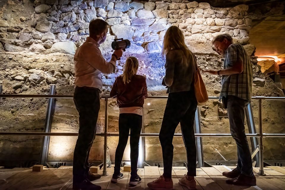
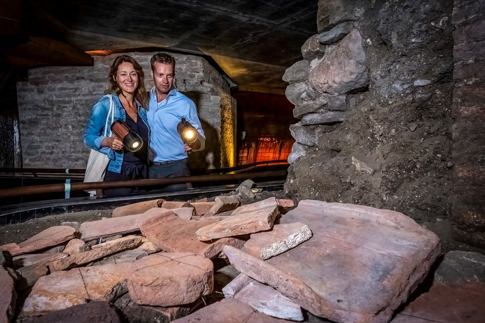
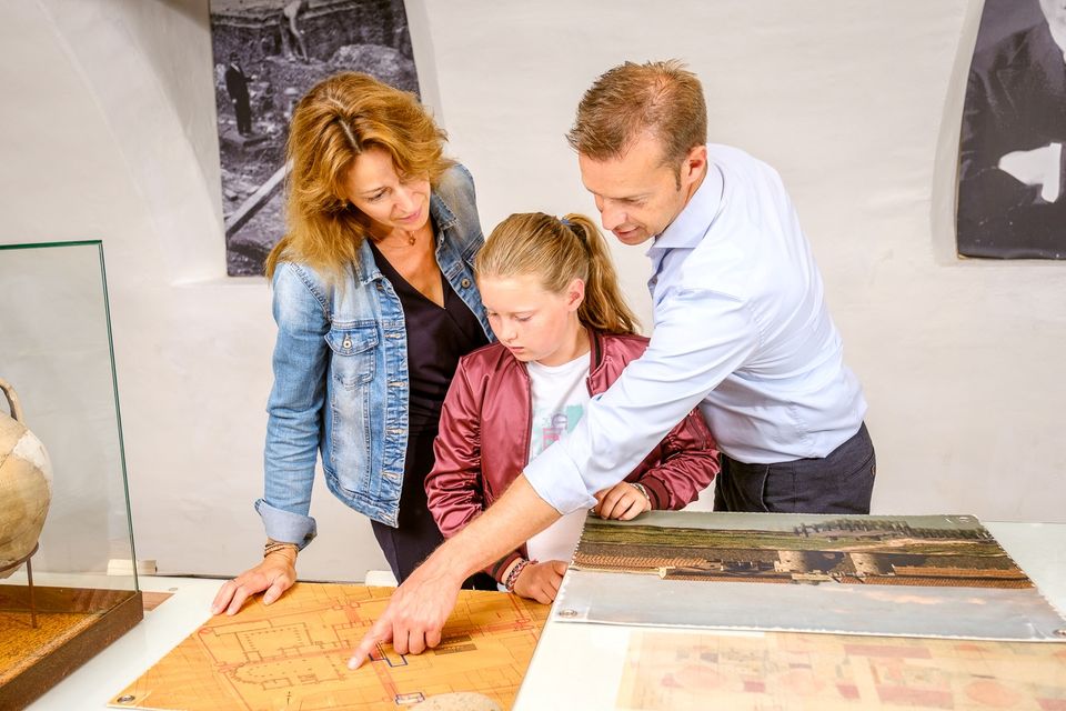
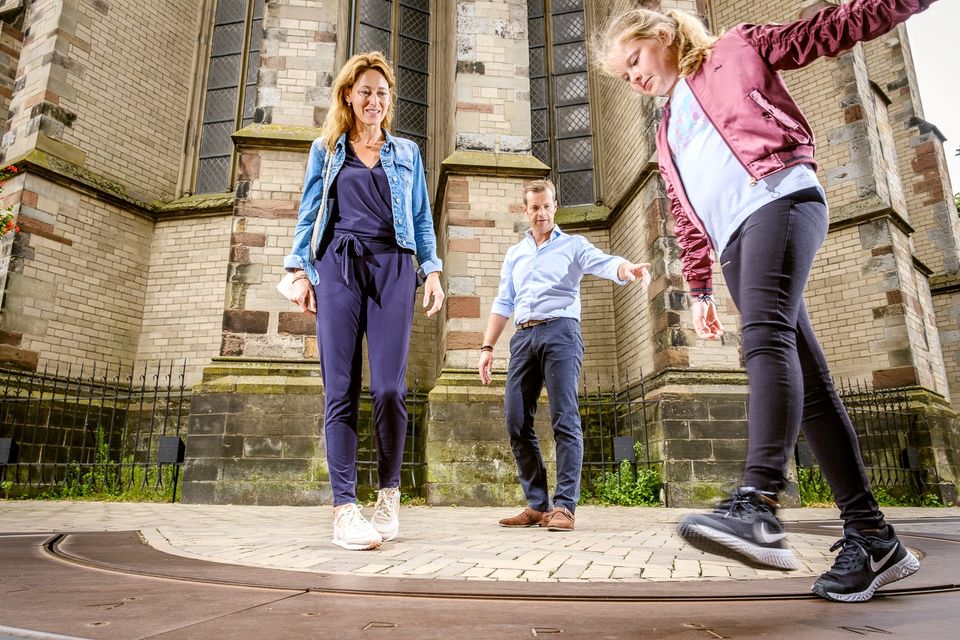
DOMunder
DOMunder
The secrets of Utrecht’s Dom Square have been revealed. The entrance to the underground space where you can view 2,000 years of Dutch history is in the middle of Dom Square. A route under the centuries old square can be followed with a special torch to discover all sorts of archeological finds. History literally springs to life as the torch activates stories and animated films.
DOMunder allows you to experience history from the time the Romans built the castellum Trajectum, around 45 A.D. And why was Utrecht the center of the Netherlands in the middle ages? You can even experience the destructive tornado that caused the nave of the Dom Cathedral to collapse in 1674. DOMunder brings the history buried under the Dom Square to life for all to experience and see, young and old alike.

3512 JC Utrecht -
De Hooge Vuursche Castle
De Hooge Vuursche Castle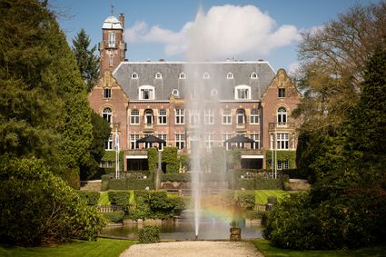
3744 KC Baarn -
The Waterloo Needle
The Waterloo Needle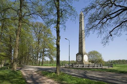
3742 CR Baarn