odp
49 to 72 of 299 locations
-
Tobacco Cultivation Museum
Tobacco Cultivation Museum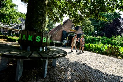
3958 CD Amerongen -
Café-Restaurant De Lage Vuursche
Café-Restaurant De Lage Vuursche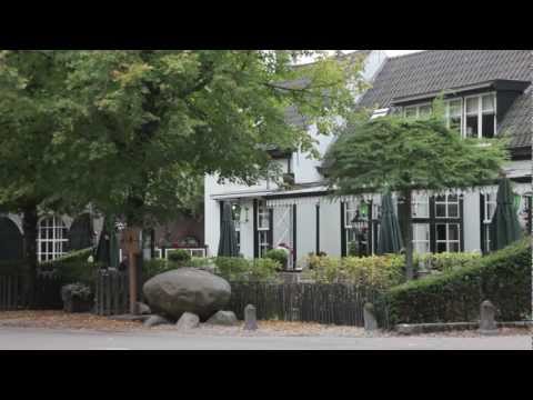
3749 AD Lage Vuursche -
Stayokay Utrecht Centrum
Stayokay Utrecht Centrum
3512 AD Utrecht -
Large Pump/Vianen Town Pump
Large Pump/Vianen Town Pump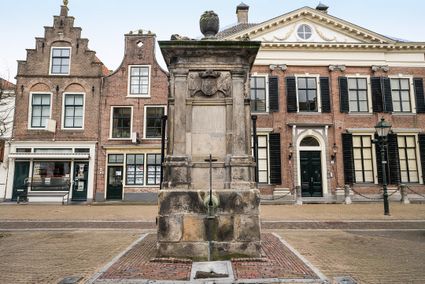
Voorstraat 54
4132 AS Vianen -
Soestdijk Palace
Soestdijk Palace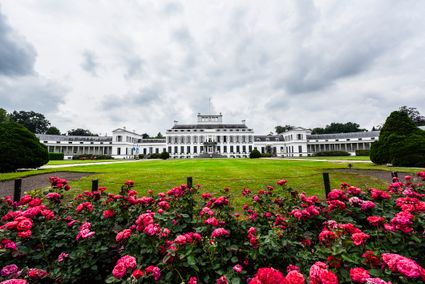
3744 AA Baarn -
Leersumse Veld
Leersumse Veld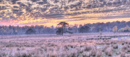
3956 KW LEERSUM -
Mill "Den Olden Florus"
Mill "Den Olden Florus"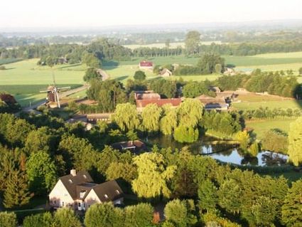
3784 VE Terschuur -
De Vriendschap windmill
De Vriendschap windmill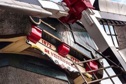
Nieuweweg 109
3905 LJ Veenendaal -
Visitor Centre De Boswerf
Visitor Centre De Boswerf
3708 BR Zeist -
Fort Blauwkapel
Fort Blauwkapel
3566 MK Utrecht -
Ouwehands Zoo Rhenen
Ouwehands Zoo Rhenen
3911 AV Rhenen -
Bijzondere Taarten Fabriek
Bijzondere Taarten Fabriek
Zeist -
Vianen Castle “Op de Bol”
Vianen Castle “Op de Bol”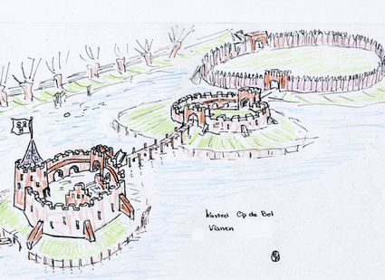
't wed 2
4132 CC Vianen -
Fort bij Vechten - Waterline Museum
Fort bij Vechten - Waterline Museum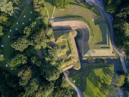
Achterdijk 2
Bunnik -
Boundary posts
Boundary posts
In around 1875, the Ministry of War erected some 350 boundary posts along the length of the Kromme Rijn. The blue stone posts, marked with the letter O (for Oorlog, the Dutch word for war) and a number, marked the new route for transporting water to the New Dutch Waterline. The posts used to line up with plot boundaries. Many have been removed over the years, but the water board has returned 18 of them to their original location along the towpath between Werkhoven and Odijk following the construction of an environmentally friendly riverbank.
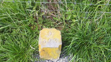
Odijk -
TOP Beauforthuis
TOP Beauforthuis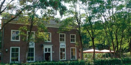
3711 AB Austerlitz -
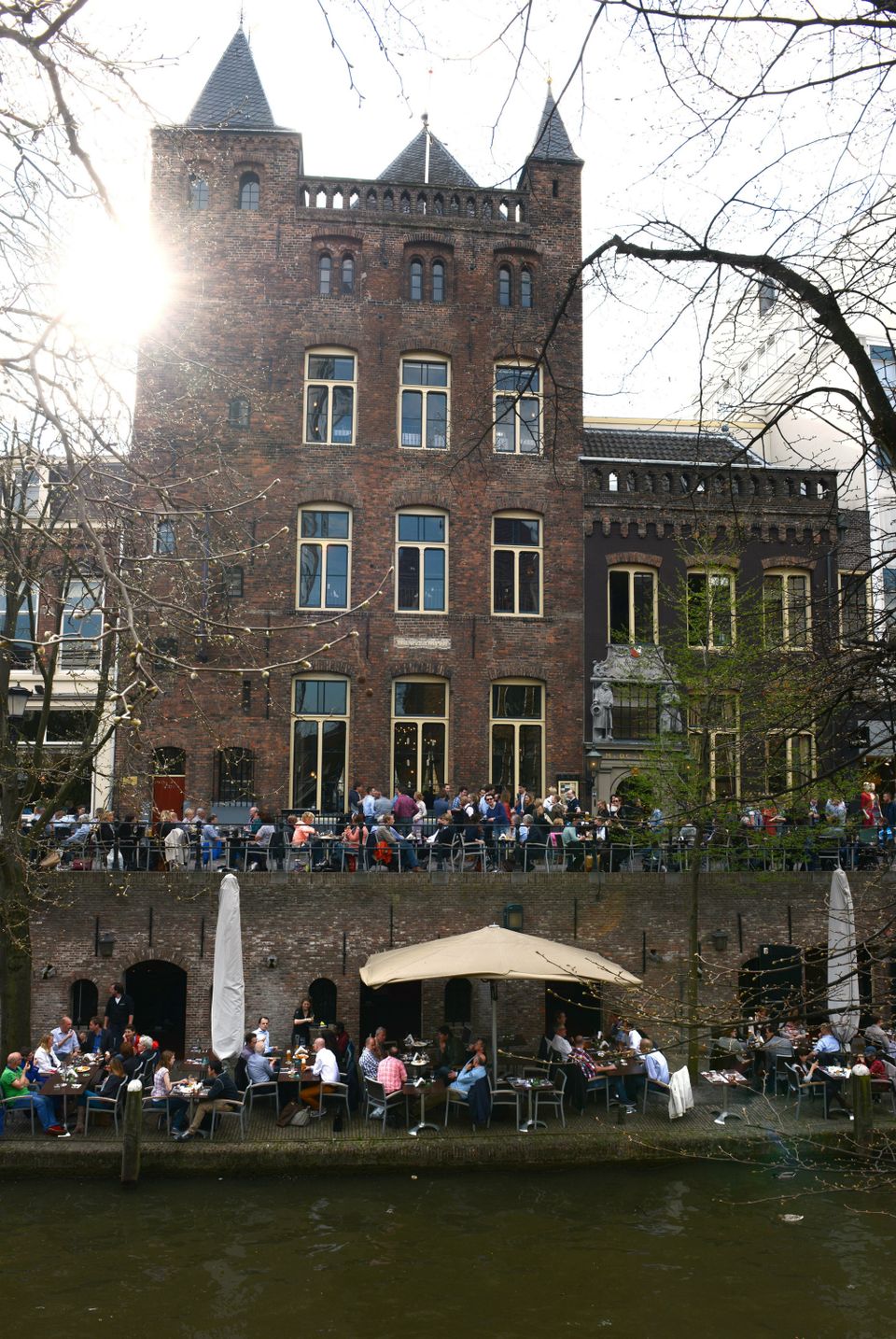
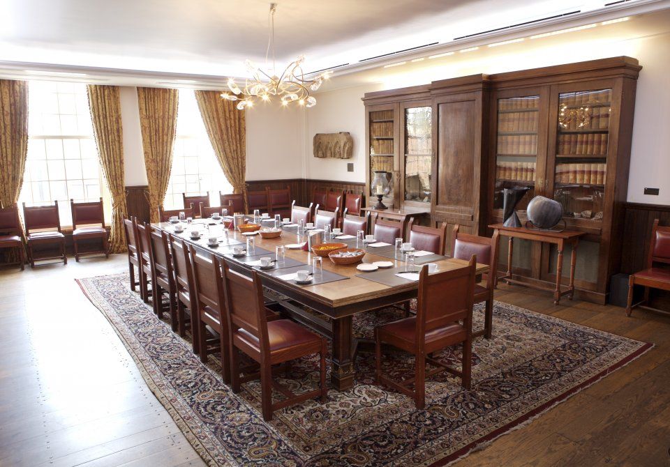
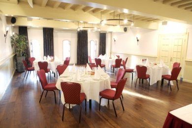
City castle Oudaen
City castle Oudaen
A monumental building from 1276 with its own brewery and a number of conference rooms, among other things.
In or around the year 1276, the Zoudenbalch family commissioned the construction of this so-called city castle. The building was entirely made of bricks, turning it into some kind of defence house. In 1395, the building got into the hands of the Oudaen family who named it after themselves. From 1758 until 1965 it was used as an old folks' home. After that, it was briefly in the possession of a student association. Since 1986, Oudaen is being used as a catering establishment.
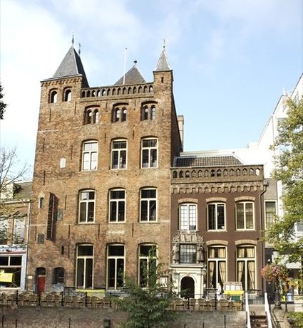
3511 AE Utrecht -
The old St. Nicholas Church
The old St. Nicholas Church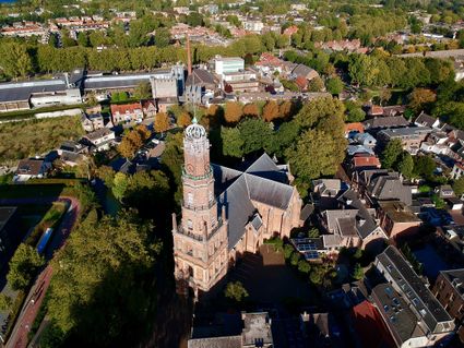
3401 BM IJsselstein -
Fort Maarsseveen
Fort Maarsseveen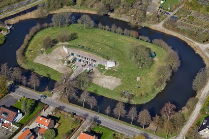
Herenweg 2
3602 AM Maarssen -
Goejanverwelle lock
Goejanverwelle lock
The Goejanverwelle lock and the Enkele Wiericke lock on the Hollandse Ijssel played a key role in the Disaster Year. Together with the lock at Nieuwerbrug on the Oude Rijn, they formed the inlet to the Langeweide polder, which was the narrowest section of the Waterline. The locks were opened on 17 June 1672 – just in time to halt the advance of the French, who had already captured Oudewater and marched right up to the edge of the hastily flooded Waterline. With great promptitude, the commander of the garrison at Goejanverwelle, the Count of Horn, gave the order to raise sconces and fortifications to defend the locks. For the moment, the Waterline was safe!
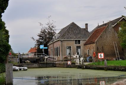
3467 PR Hekendorp -
Nationaal Bomenmuseum Gimborn
Nationaal Bomenmuseum Gimborn
3941 BZ Doorn -
TOP Pondskoekersluis
TOP Pondskoekersluis
De Hoef Oostzijde 1
1426AD De Hoef -
TOP Oud-Zuilen, Slot Zuylen
TOP Oud-Zuilen, Slot Zuylen
3611 AS Maarssen -
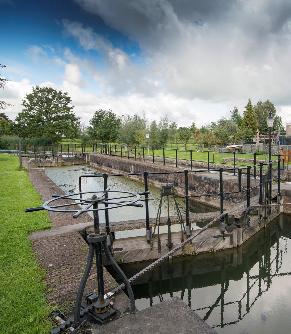
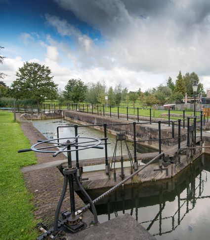
Lock at Cothen
Lock at Cothen
The water board uses the dam in the Kromme Rijn in Cothen to regulate the flow of water to and from Utrecht. The monumental lock alongside it (from 1865) was used during wartime to move ships past the dam. When the Waterline needed to be flooded, the commander of the inundation station at Wijk bij Duurstede first gave the order to raise the water level in the Kromme Rijn by closing off the lock with stop logs. Next, he ordered the stop logs to be removed so that a large body of water could flow from the open lock to Utrecht.
3945BN Cothen