odp
145 to 168 of 299 locations
-
The Horse Sanctuary
The Horse Sanctuary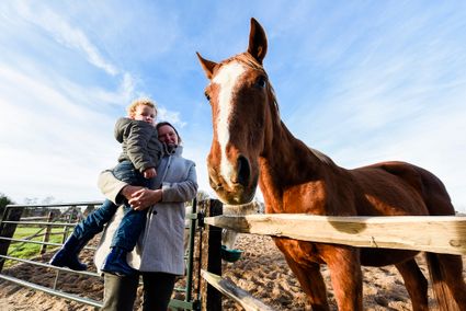
3768 HL Soest -
TOP Vianen, Ponthoeve
TOP Vianen, Ponthoeve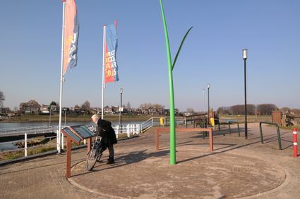
Buitenstad 69
4132 AB Vianen -
Cunera Hill
Cunera Hill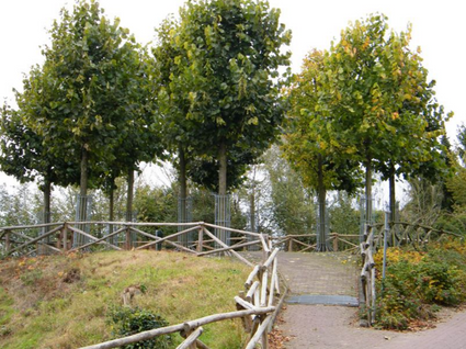
3911 AC Rhenen -
Rijnauwen Fort
Rijnauwen Fort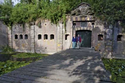
Vossegatsedijk 5
3981 HS Bunnik -
TOP Park Vliegbasis Soesterberg
TOP Park Vliegbasis Soesterberg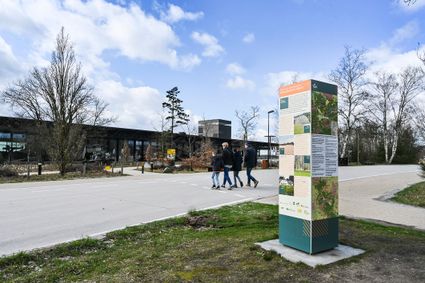
3768 MX Soest -
Rope museum
Rope museum
3421 SZ Oudewater -
Amaliastein
Amaliastein
Daunstraat 26
4133 JE Vianen -
Buiten in de Kuil - Lage Vuursche
Buiten in de Kuil - Lage Vuursche
3749 AW Lage Vuursche -
Fort Voordorp
Fort Voordorp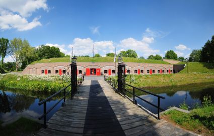
3737 BK Groenekan -
TOP Tea Garden Eemnes
TOP Tea Garden Eemnes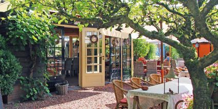
3755 PD Eemnes -
Woudschoten Hotel & Conferentiecentrum***
Woudschoten Hotel & Conferentiecentrum***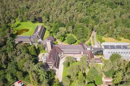
3707 HX Zeist -
Brasserie Soesterduinen
Brasserie Soesterduinen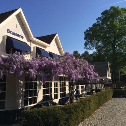
3768 MD Soest -
Fortresses of the four Lunetten
Fortresses of the four Lunetten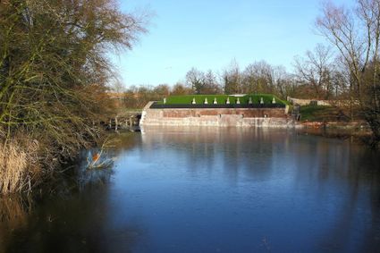
Oude Liesbosweg 68
3524 SB Utrecht -
Molen de Ster
Molen de Ster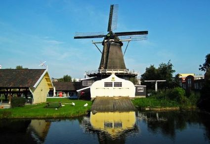
-
Mouse Towers | Leerdam
Mouse Towers | Leerdam
4141 BE Leerdam -
Soesterberg Park Air Base
Soesterberg Park Air Base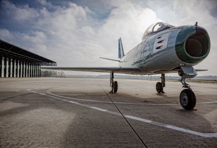
3768 MX Soest -
Veenendaal Town Beach
Veenendaal Town Beach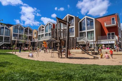
3901 Veenendaal -
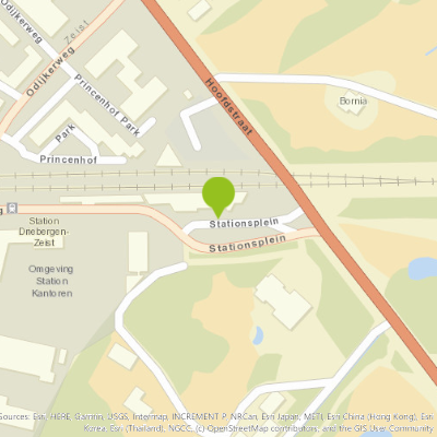
TOP trainstation Driebergen-Zeist
TOP trainstation Driebergen-Zeist

Stationsplein, Driebergen
3972 NG Driebergen Rijsenburg -
Inundation lock at Wijk bij Duurstede
Inundation lock at Wijk bij Duurstede
In 1870, the Kromme Rijn was given a key role in the New Dutch Waterline. Back then, it took almost a month to flood the area around Utrecht. This had to be speeded up. To this end, the river was widened, its bends were straightened and locks and dams were built. Near Wijk bij Duurstede, a large inundation lock was built that made Wijk bij Duurstede the ‘tap’ with which to turn on the New Dutch Waterline. This reduced the time needed to flood the inundation areas to between 4 and 12 days. The inlet is still used daily to transport fresh water to the city of Utrecht and the river Vecht.
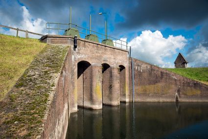
3961CH Wijk bij Duurstede -
Eemlandhoeve
Eemlandhoeve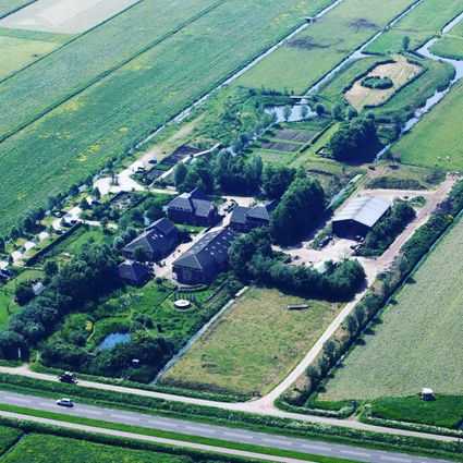
3752 LK Bunschoten-Spakenburg -
Statues in the Máximapark
Statues in the Máximapark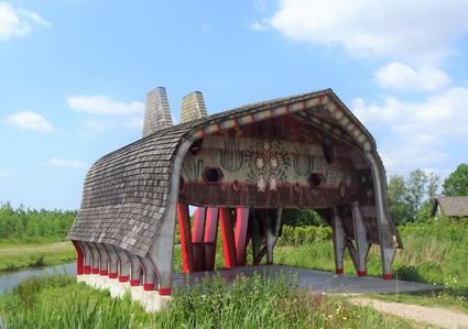
Utrecht -
Asschatterkeerkade
Asschatterkeerkade
The Asschatterkade dates from 1745, and is one of the longest trenches of the Grebbelinie, with its length of 2500 metres. The trench from 1799 lies east of Leusden, at the edge of the flood plain. But there are also elements from more recent history which can be found.
The nine visible military bunkers, for example, were built during the mobilisation between 1939-1940. There is also a unique concrete tank barrier from this time. During the May Days of 1940, the Germans attempted in vain to break through the defences.
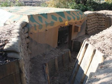
3831 JP Leusden -
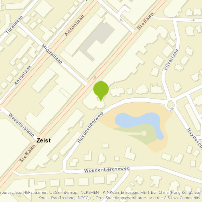
Delicacies from Zeist
Delicacies from Zeist
3701 Zeist -
TOP Oortjespad
TOP Oortjespad
Oortjespad
3471HD Kamerik