odp
145 to 168 of 302 locations
-
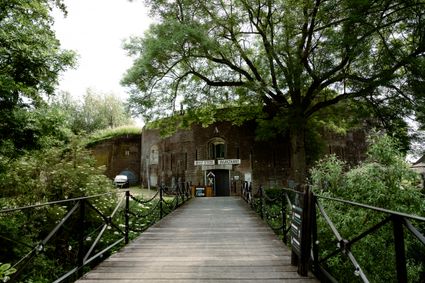
Fort bij Vechten - Waterline Museum
Fort bij Vechten - Waterline Museum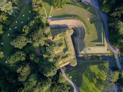
Achterdijk 2
Bunnik -
Museum Bunker Leusden
Museum Bunker Leusden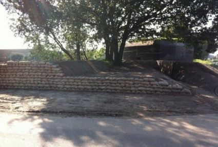
3831 RZ Leusden -
Soesterberg Park Air Base
Soesterberg Park Air Base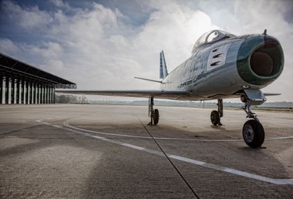
3768 MX Soest -
Delicacy shop ’t Kaasmeisje
Delicacy shop ’t Kaasmeisje
3421AC Oudewater -
TOP De Dennen
TOP De Dennen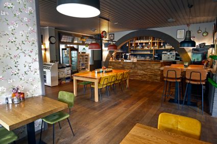
3927AW Renswoude -
Fort Voordorp
Fort Voordorp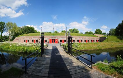
3737 BK Groenekan -
Fort Abcoude
Fort Abcoude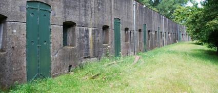
1391 CG Abcoude -
The Hernhutter (Moravian Brothers) House
The Hernhutter (Moravian Brothers) House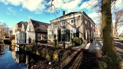
3703 CA Zeist -
Statues in the Máximapark
Statues in the Máximapark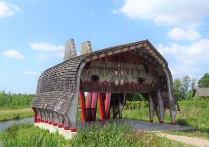
Utrecht -
Asschatterkeerkade
Asschatterkeerkade
The Asschatterkade dates from 1745, and is one of the longest trenches of the Grebbelinie, with its length of 2500 metres. The trench from 1799 lies east of Leusden, at the edge of the flood plain. But there are also elements from more recent history which can be found.
The nine visible military bunkers, for example, were built during the mobilisation between 1939-1940. There is also a unique concrete tank barrier from this time. During the May Days of 1940, the Germans attempted in vain to break through the defences.
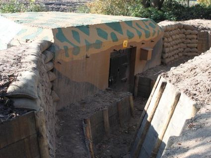
3831 JP Leusden -
-
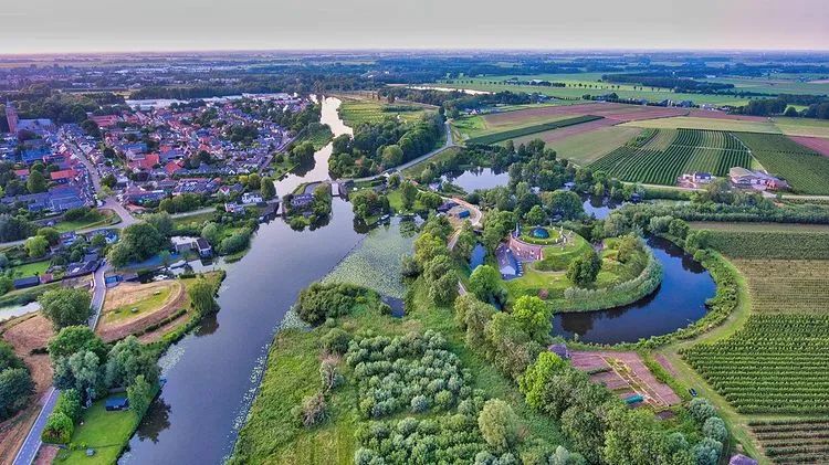
Fortress Nieuwersluis
Fortress Nieuwersluis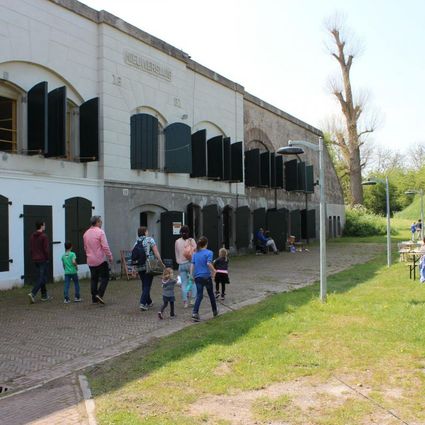
Rijksstraatweg 7B
3631 AA Nieuwersluis -
Heidestein Estate
Heidestein Estate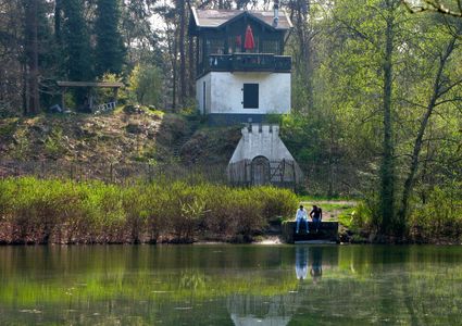
3708 WN Zeist -
Tobacco Cultivation Museum
Tobacco Cultivation Museum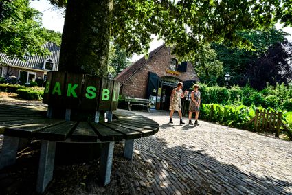
Burg. Jhr. H. v.d. Boschstraat 46
3958 CD Amerongen -
Air Base Park Soesterberg
Air Base Park Soesterberg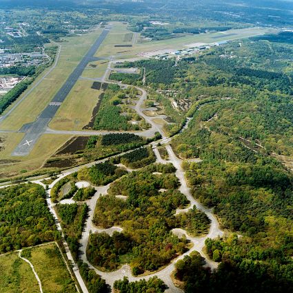
3768 MX Soest -
Fort Hoofdijk
Fort Hoofdijk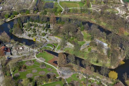
3584 HD Utrecht -
Pannenkoekenhuis de Grebbeberg
Pannenkoekenhuis de Grebbeberg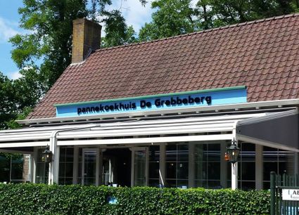
3911 AV Rhenen -
Keuris distillery
Keuris distillery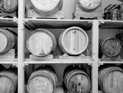
3449 HJ Woerden -
TOP ‘t Jagershuys
TOP ‘t Jagershuys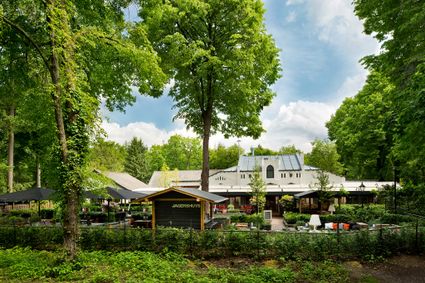
3707 HW Zeist -
Restaurant De Dennen
Restaurant De Dennen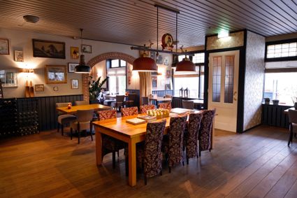
3927 AW Renswoude -
Delicacies from Zeist
Delicacies from Zeist
3701 Zeist -
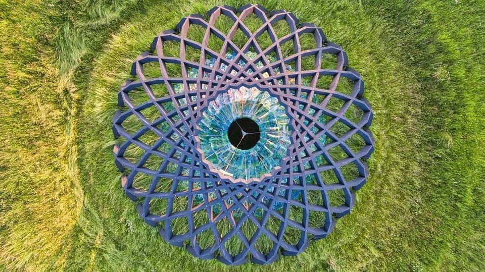
Fort Asperen
Fort Asperen
This magnificent tower fort, built between 1845 and 1847, is surrounded by a moat for extra protection. Fort Asperen last saw active use on 12 April 1940, as part of preparations for the coming war. However, the Germans flew straight past it. Fort Asperen, which is an artwork in and of itself, is open to visitors in the summer months. The domed roof to keep out the rain, for instance, is made entirely of glass slates designed in the Glassworks at the National Glass Museum.
Langendijk 60
4145BR Acquoy -
-
Renswoude Castle
Renswoude Castle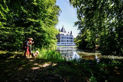
3927BA Renswoude -
Kerckebosch Castle****
Kerckebosch Castle****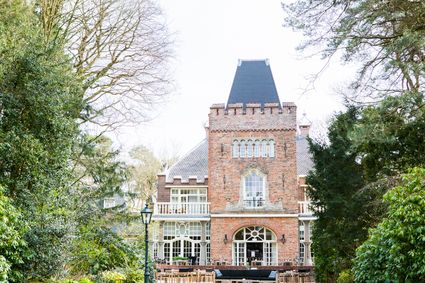
3708 AA Zeist -
Restaurant Rederij De Eemlust
Restaurant Rederij De Eemlust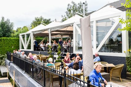
3741LC Baarn