odp
289 to 302 of 302 locations
-
Molen Rijn en Lek
Molen Rijn en Lek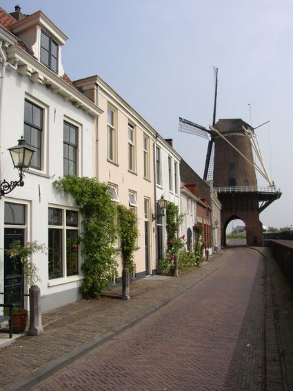
Dijkstraat 23
3961 AA Wijk bij Duurstede -
Stayokay Utrecht Centrum
Stayokay Utrecht Centrum
3512 AD Utrecht -
TOP 't Hooge Erf
TOP 't Hooge Erf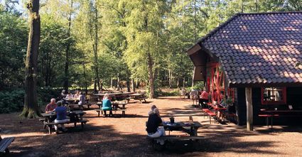
3749 AB Lage Vuursche -
TOP Ameide
TOP Ameide
4233CL Ameide -
Dunes of Soest
Dunes of Soest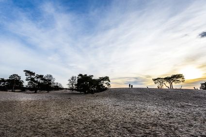
-
St. Joriskerk (Church)
St. Joriskerk (Church)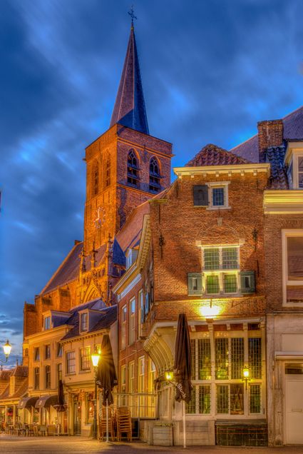
Hof 1
3811 CJ Amersfoort -
Muideslot
Muideslot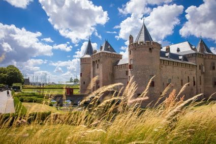
Herengracht 1
1398 AA Muiden -
TOP Groeneveld Castle
TOP Groeneveld Castle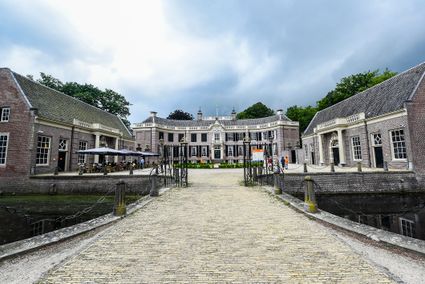
3744 ML Baarn -
B&B Kasteel Sterkenburg
B&B Kasteel Sterkenburg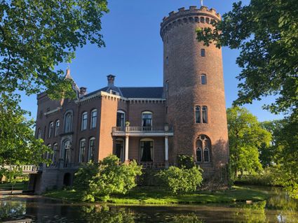
3972 ND Driebergen-Rijsenburg -
The Horse Sanctuary
The Horse Sanctuary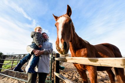
3768 HL Soest -
Bicycle Boat, Maarssen
Bicycle Boat, Maarssen
Zandweg 44 (tegenover nr. 44)
3601AE Maarssen -
Schaapskooi Heidestein
Schaapskooi Heidestein
Hoog Kanje 186
3708 XA Zeist -
Cavalry Museum
Cavalry Museum
3818 LN Amersfoort -
KAdE Art Centre
KAdE Art Centre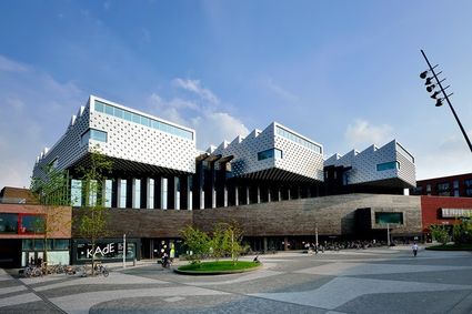
3812 EA Amersfoort
- Go to the previous page
- Go to page1
- …
- Go to page9
- Go to page10
- Go to page11
- Go to page12
- Current page13