odp
265 to 288 of 298 locations
-
Grebbe Line Visitor's Centre
Grebbe Line Visitor's Centre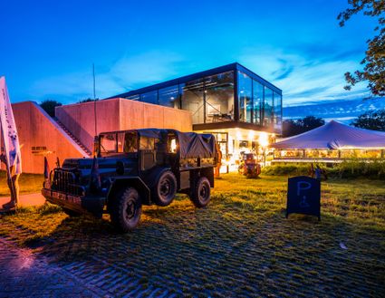
3927EJ Renswoude -
Soesterduinen
Soesterduinen
Foekenlaan 25
3768 BJ Soest -
TOP De Generaal
TOP De Generaal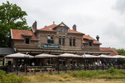
3743 JL Baarn -
TOP Leerdam
TOP Leerdam
Lingedijk 8
4142 LD Leerdam -
TOP Bergse Bossen
TOP Bergse Bossen
Traaij 299
3971 GM Driebergen -
Pannenkoekenhuis Bergzicht
Pannenkoekenhuis Bergzicht
3931 MH Woudenberg -
TOP Kersenpracht Cothen
TOP Kersenpracht Cothen
Graaf van Lynden van Sandenburgweg 2
3945 PB Cothen -
Blokhoven inundation area
Blokhoven inundation area
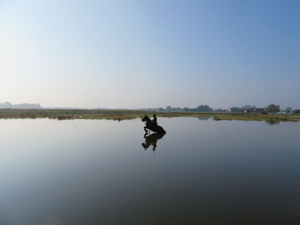
The Blokhoven polder flood plain is situated behind the Achterdijk in Schalkwijk. During heavy rainfall, it can collect up to 23,000 m3 of water to prevent Schalkwijk from being flooded. This volume is equivalent to around 10 Olympic swimming pools. The area is at the heart of the New Dutch Waterline. In the summer, the plain is flooded twice a month to illustrate the inundation principle for visitors. If heavy or prolonged rainfall is forecast, the water board may decide to forego the inundation, as the plain will be needed to collect excess water.
3998 NE Schalkwijk -
-
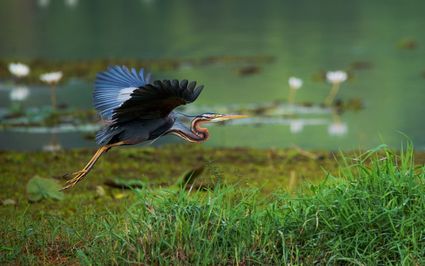
The Zouweboezem nature reserve
The Zouweboezem nature reserve
An undiscovered gem, full of beautiful flora and fauna. This storage area was dug in the 14th century to collect the excess water between the polders. Now it is an oasis of peace in which grasslands, reed beds and water alternate. Have your camera ready, because the swamp fields are the home and breeding ground for many bird species. The purple heron, the marsh harrier and the china grouse, you can admire them all.
Boezemweg
Lexmond -
-
Geerestein estate
Geerestein estate
3931 JB Woudenberg -
Air Base Park Soesterberg
Air Base Park Soesterberg
3768 MX Soest -
Windmill Windhond
Windmill Windhond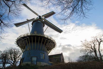
3447 GR Woerden -
BAK, basis voor actuele kunst
BAK, basis voor actuele kunst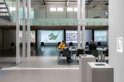
3512 TG Utrecht -
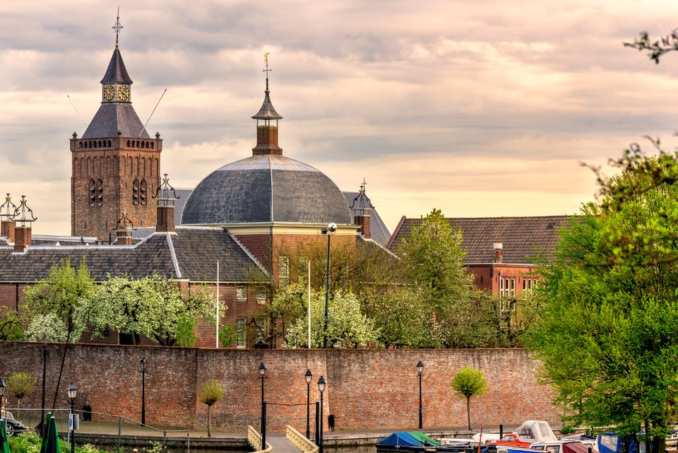
Muurhuizen (Wallhouses)
Muurhuizen (Wallhouses)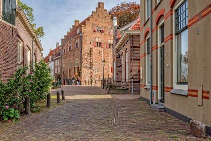
3811 Amersfoort -
National Military Museum
National Military Museum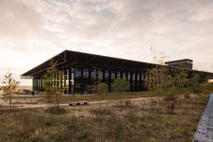
3768 MX Soest -
Boundary posts
Boundary posts
In around 1875, the Ministry of War erected some 350 boundary posts along the length of the Kromme Rijn. The blue stone posts, marked with the letter O (for Oorlog, the Dutch word for war) and a number, marked the new route for transporting water to the New Dutch Waterline. The posts used to line up with plot boundaries. Many have been removed over the years, but the water board has returned 18 of them to their original location along the towpath between Werkhoven and Odijk following the construction of an environmentally friendly riverbank.
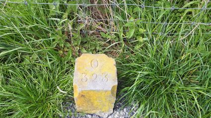
Odijk -
-
TOP Tea Garden Eemnes
TOP Tea Garden Eemnes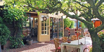
3755 PD Eemnes -
Camping De Grebbelinie
Camping De Grebbelinie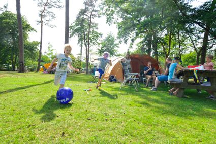
3927 CJ Renswoude -
Fort Waver-Amstel
Fort Waver-Amstel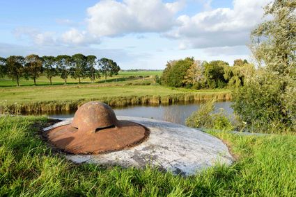
3646 AS Nessersluis -
Fort de Gagel
Fort de Gagel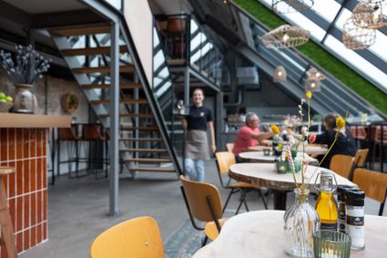
Gageldijk 165
3566 MJ Utrecht -
Pyramid of Austerlitz
Pyramid of Austerlitz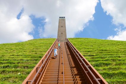
3931 MG Woudenberg -
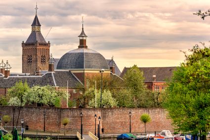
St. Joriskerk (Church)
St. Joriskerk (Church)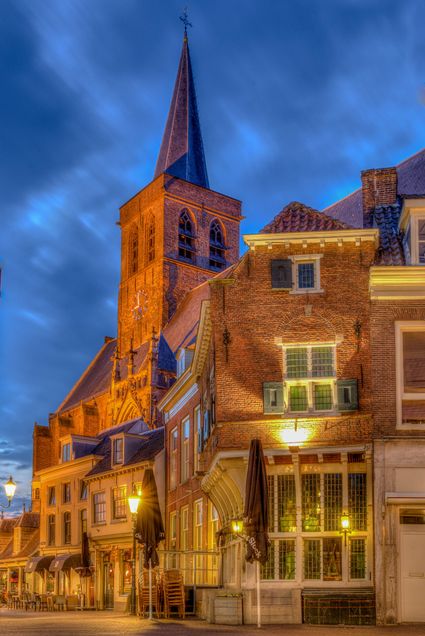
Hof 1
3811 CJ Amersfoort -
Vianen
Vianen
Vianen -
Tourist Information Point Leerdam
Tourist Information Point Leerdam
Leerdam, who has not heard about this beautiful city? Since 1765 the Glasscapital of the Netherlands and the whole world eats our Leerdammer Cheese. If you're looking for culture, good food, sailing, shopping, walking or cycling? The city center of Leerdam has it all!
Are you looking for information about Leerdam, tips and ideas, bicycle or walking routes? Come visit us in the Tourist Information Office in Leerdam. We are happy to help you find your way around Leerdam.
4141 AV Leerdam -