odp
73 to 96 of 302 locations
-
Dutch Water Defence Lines
Dutch Water Defence Lines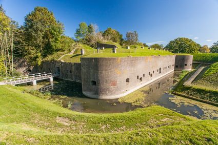
De Hollandse Waterlinies
Utrecht -
De Vriendschap windmill
De Vriendschap windmill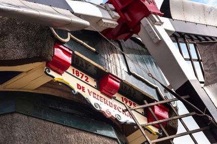
Nieuweweg 109
3905 LJ Veenendaal -
Blik & Burgers playground and restaurant
Blik & Burgers playground and restaurant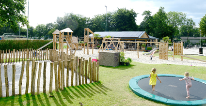
3703 DZ Zeist -
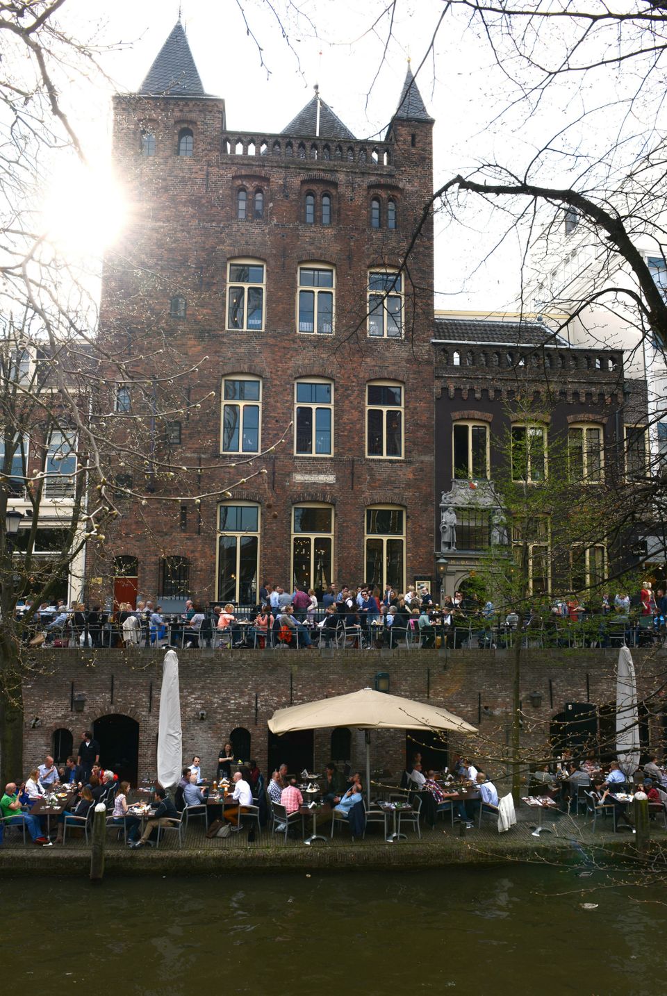
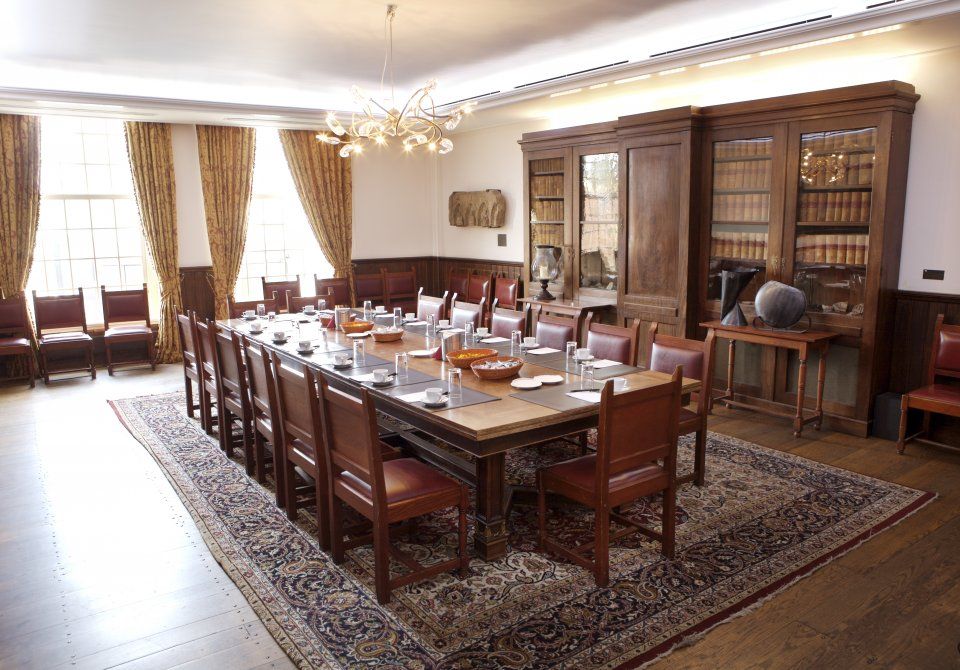
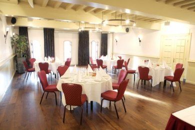
City castle Oudaen
City castle Oudaen
A monumental building from 1276 with its own brewery and a number of conference rooms, among other things.
In or around the year 1276, the Zoudenbalch family commissioned the construction of this so-called city castle. The building was entirely made of bricks, turning it into some kind of defence house. In 1395, the building got into the hands of the Oudaen family who named it after themselves. From 1758 until 1965 it was used as an old folks' home. After that, it was briefly in the possession of a student association. Since 1986, Oudaen is being used as a catering establishment.
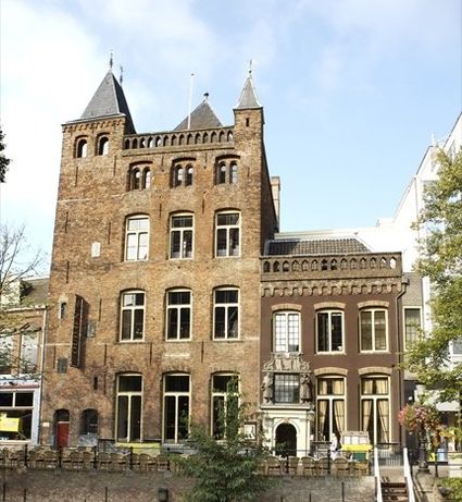
3511 AE Utrecht -
-
Groene Entree Hoogstraat
Groene Entree Hoogstraat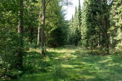
3941 MN DOORN -
Geesberge country estate
Geesberge country estate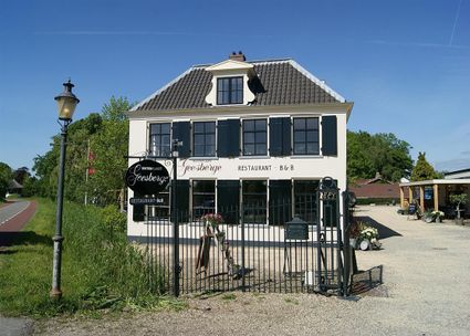
3601 NA Maarssen -
De Paltz Estate
De Paltz Estate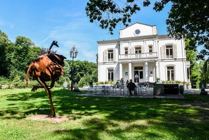
3768 MZ Soest -
National Glass Museum & Glass studio
National Glass Museum & Glass studio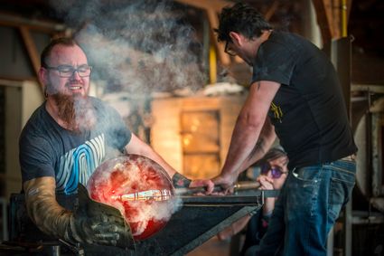
4142 LD Leerdam -
Noorderpark Ruigenhoek
Noorderpark Ruigenhoek
Utrecht -
Amersfoort Zoo
Amersfoort Zoo
3819 AC Amersfoort -
Slot Zeist
Slot Zeist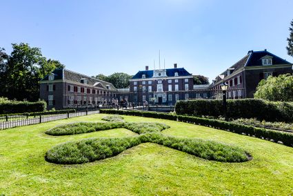
3703 CE Zeist -
Fort Maarsseveen
Fort Maarsseveen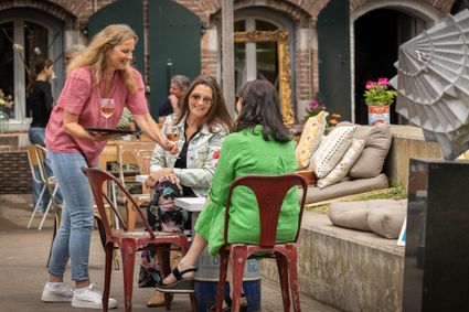
Herenweg 3
3602 AM Maarssen -
Recreatiepark De Lucht
Recreatiepark De Lucht
Barneveldsestraat 49
3927 CB Renswoude -
VVV agentschap Breukelen
VVV agentschap Breukelen
Herenstraat 4
3621 AR Breukelen -
Fort Ruigenhoek
Fort Ruigenhoek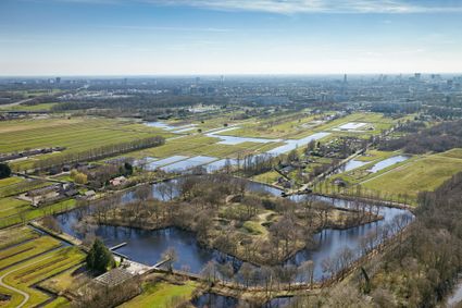
3737 MR Groenekan -
Pyramid of Austerlitz
Pyramid of Austerlitz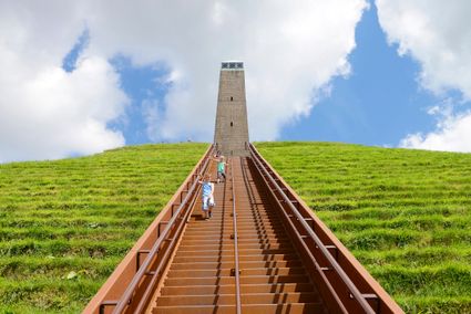
3931 MG Woudenberg -
Fort Uitermeer
Fort Uitermeer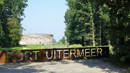
Uitermeer
1381 HP Weesp -
Naarden Vesting
Naarden Vesting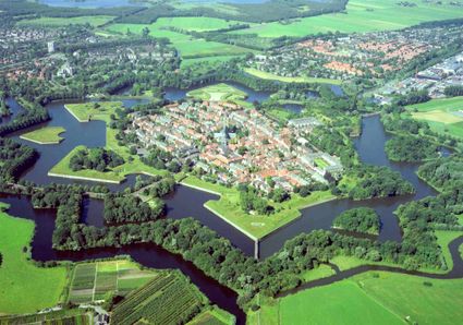
Ruijsdaelplein 10
1411 EA Naarden-Vesting -
Ivn excursie Kwintelooyen
Ivn excursie Kwintelooyen
3911 TA Rhenen -
Rijn en Zon corn mill in the Vogelenbuurt
Rijn en Zon corn mill in the Vogelenbuurt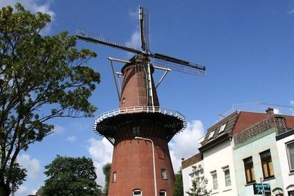
3524 CE Utrecht -
Fort Kijkuit
Fort Kijkuit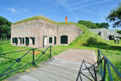
Gabriëlweg 6
1241 ND Kortenhoef -
Vianen Castle “Op de Bol”
Vianen Castle “Op de Bol”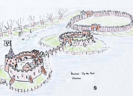
't wed 2
4132 CC Vianen -
TOP Marnemoende, IJsselstein
TOP Marnemoende, IJsselstein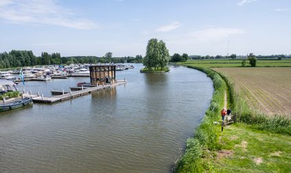
2402PG IJsselstein -
Fortresses of the four Lunetten
Fortresses of the four Lunetten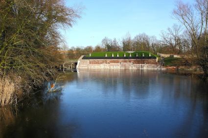
3524 SB Utrecht