odp
217 to 240 of 298 locations
-
Grebbeberg Military Cemetery
Grebbeberg Military Cemetery
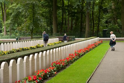
The largest battle of the Dutch army in WWII took place on Grebbeberg Hill. Here poorly armed and untrained men held their ground against a very powerful and ruthless opponent for three days. Grebbeberg Military Cemetery is the final resting place for more than 800 soldiers and 1 citizen who perished here in the Second World War. It is located on Grebbeberg Hill at Rhenen, and was a battlefield of just a few square kilometres, but is full of stories of the courage of desperation in the Netherlands.
The information centre, with an exhibition about the events on Grebbeberg Hill during “The Battle for Grebbeberg Hill” in May 1940, is open daily from 9:00 am to 5:00 pm.
3911 AV Rhenen -
TOP Het Gagelgat
TOP Het Gagelgat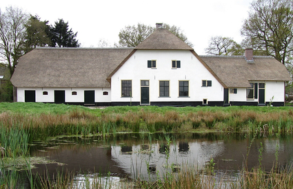
3768 HD Soest -
Recreatiepark De Lucht
Recreatiepark De Lucht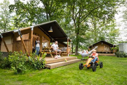
3927 CB Renswoude -
TOP De Dennen
TOP De Dennen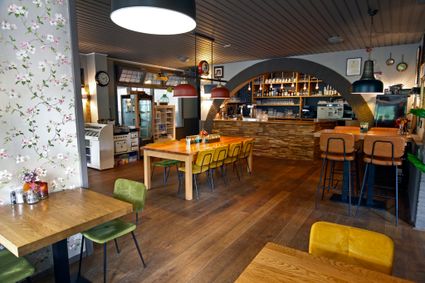
3927AW Renswoude -
TOP Vinkeveense Plassen, Vinkeveen
TOP Vinkeveense Plassen, Vinkeveen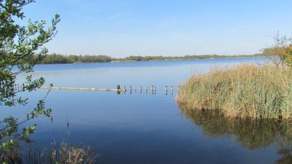
3645DA Vinkeveen -
Gagelbos
Gagelbos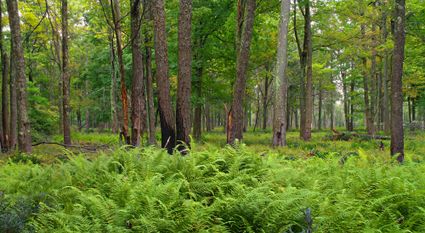
3566 MJ Utrecht -
Fort Hinderdam
Fort Hinderdam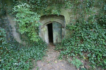
Hinderdam 7
1394 JB Nederhorst den Berg -
Vechtstreekmuseum Maarssen
Vechtstreekmuseum Maarssen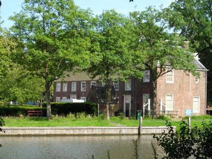
Diependaalsedijk 19
3601 GH MAARSSEN -
Hoeve Ravenstein
Hoeve Ravenstein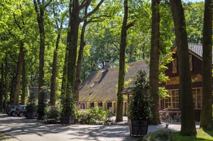
3744 ML Baarn -
Mouse Towers | Leerdam
Mouse Towers | Leerdam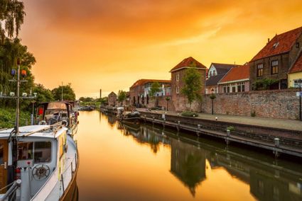
4141 BE Leerdam -
Henschoter lake
Henschoter lake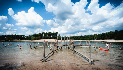
3931MK Woudenberg -
Dunes of Soest
Dunes of Soest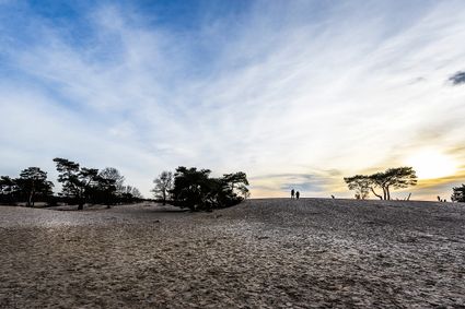
-
TOP Huis Doorn
TOP Huis Doorn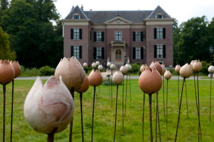
3941 MT Doorn -
Centraal Museum
Centraal Museum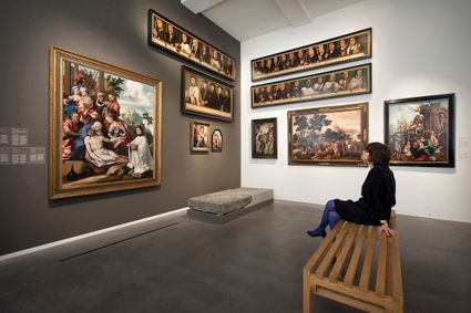
3512 XA Utrecht -
Kameryck Country Estate
Kameryck Country Estate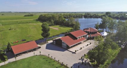
3471 HD Kamerik -
Utrechtse Heuvelrug National Park
Utrechtse Heuvelrug National Park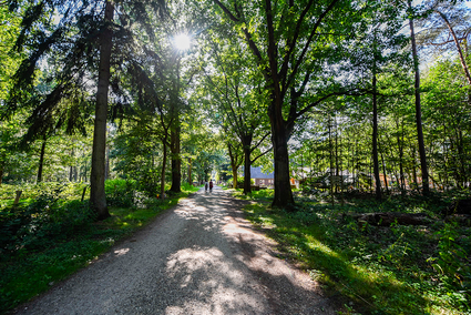
-
Boundary posts
Boundary posts
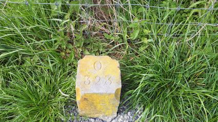
In around 1875, the Ministry of War erected some 350 boundary posts along the length of the Kromme Rijn. The blue stone posts, marked with the letter O (for Oorlog, the Dutch word for war) and a number, marked the new route for transporting water to the New Dutch Waterline. The posts used to line up with plot boundaries. Many have been removed over the years, but the water board has returned 18 of them to their original location along the towpath between Werkhoven and Odijk following the construction of an environmentally friendly riverbank.
Odijk -
The Monnikendam
The Monnikendam
3811 HH Amersfoort -
Het Monnikenbos
Het Monnikenbos
Birkstraat 150
3768 HP SOEST -
Museum Hoge Woerd
Museum Hoge Woerd
3454 PB De Meern -
Visitor Centre De Boswerf
Visitor Centre De Boswerf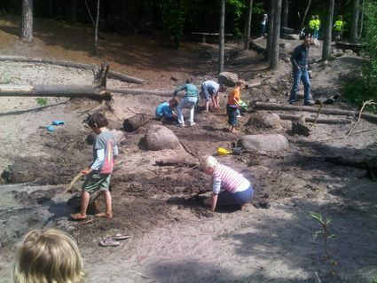
3708 BR Zeist -
Molen de Ster
Molen de Ster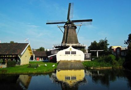
-
Teahouse Mon-Chouette
Teahouse Mon-Chouette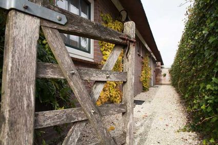
3831 JZ Leusden -
Muurhuizen (Wallhouses)
Muurhuizen (Wallhouses)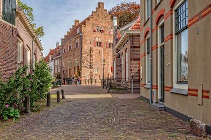
3811 Amersfoort

