odp
193 to 216 of 302 locations
-
Museum IJsselstein
Museum IJsselstein
3401 DS IJsselstein -
Volmolen
Volmolen
Plantsoen Noord 2
3811 GH Amersfoort -
Teahouse Mon-Chouette
Teahouse Mon-Chouette
3831 JZ Leusden -
National Military Museum
National Military Museum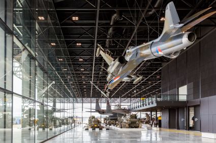
3768 MX Soest -
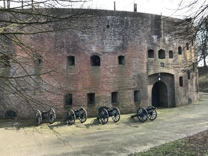
Fort Blauwkapel
Fort Blauwkapel
3566 MK Utrecht -
Vechtstreekmuseum Maarssen
Vechtstreekmuseum Maarssen
Diependaalsedijk 19
3601 GH MAARSSEN -
UIT in IJsselstein I Tourist Info
UIT in IJsselstein I Tourist Info
3401 BK IJsselstein -
TOP Zeist Castle
TOP Zeist Castle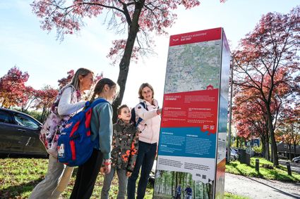
3703 CE Zeist -
Zeisterbos
Zeisterbos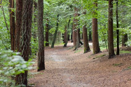
3708 BR Zeist -
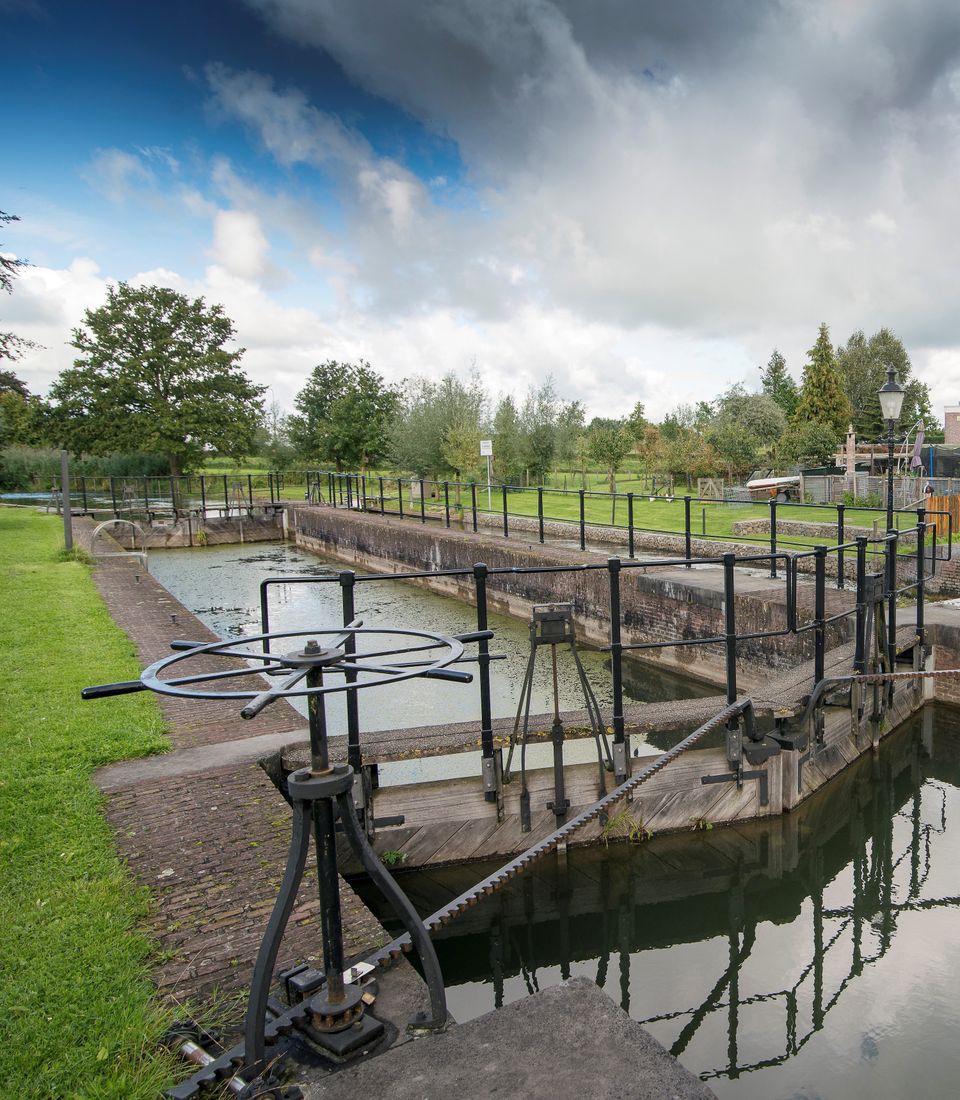
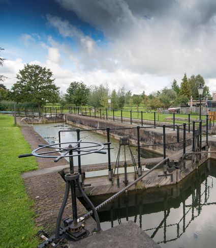
Lock at Cothen
Lock at Cothen
The water board uses the dam in the Kromme Rijn in Cothen to regulate the flow of water to and from Utrecht. The monumental lock alongside it (from 1865) was used during wartime to move ships past the dam. When the Waterline needed to be flooded, the commander of the inundation station at Wijk bij Duurstede first gave the order to raise the water level in the Kromme Rijn by closing off the lock with stop logs. Next, he ordered the stop logs to be removed so that a large body of water could flow from the open lock to Utrecht.
3945BN Cothen -
-
TOP Schloss Soestdijk
TOP Schloss Soestdijk
3744 AA Baarn -
Fort Honswijk
Fort Honswijk
Fort Honswijk, situated on the Lek River, is one of the most prominent forts of the New Dutch Waterline. Fort Honswijk's tower (built between 1841 and 1848) is the oldest and largest in the Waterlinie and possesses singular architectural beauty. Fort Honswijk was designed to stop the enemy from crossing the Lekdijk dike and to close off the Lek River in cooperation with Fort Everdingen on the opposite banks of the Lek.
3998 NJ Schalkwijk -
-
TOP Amerongen
TOP Amerongen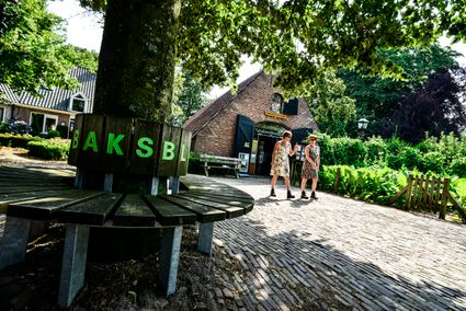
3958 ER Amerongen -
Fort at 't Hemeltje
Fort at 't Hemeltje
Fort 't Hemeltje dates from 1877-1881 and is the last built fort of the New Dutch Waterline. It defended a strip of land that could not be flooded and the 's-Hertogenbosch-Utrecht railway line. Nowadays, Fort bij 't Hemeltje is largely used as office space for various entrepreneurs who are active in the field of sustainability. The fort also offers shelter to (breeding) birds and bats.
There is a walking route around the fort and there is an exciting spy route with fun assignments for children. In addition, the fort is regularly open to the public, for example during Open Heritage Days.
3992 LX Houten -
-
De Wildenburg pancake farm
De Wildenburg pancake farm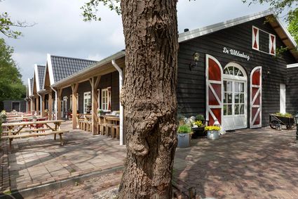
3744 MK Baarn -
Fort de Batterijen
Fort de Batterijen
Overeindseweg 25
3439LP Nieuwegein -
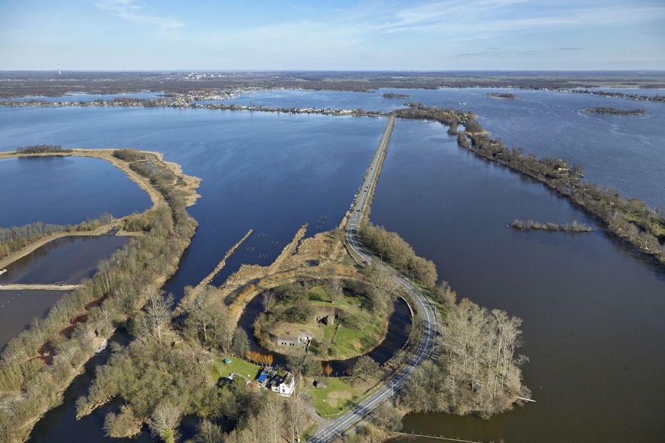
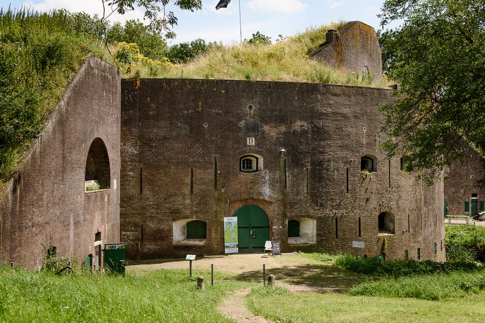
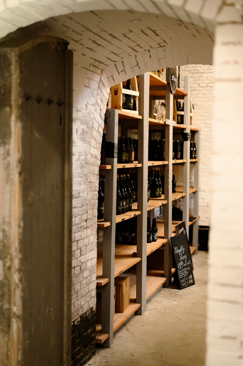
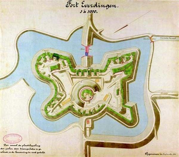
Fort Everdingen
Fort Everdingen
Anyone who delves into the history of the Vijfheerenlanden will soon discover that the now very quiet and peaceful area has a history filled with clashing weapons. Destroyed towns and castles, plundering and domestic (and foreign) wars: every town and village has its own story to tell. Everdingen was put on the Dutch military map in the 19th Century as part of the New Dutch Water Line.
The New Dutch Water Line ran from the former Zuiderzee near Muiden to the Biesbosch near Werkendam and consisted of a variety of defences and inundation fields (areas that could be placed underwater). Fort Everdingen was built between 1842 and 1847 and, together with Fort Honswijk, formed the Lek access on the other side of the Lek. The surrounding land could be flooded using inundation locks. The fort itself was walled and well defended by a variety of casemates. The new Dutch Water Line was prepared 3 times. At the end of World War II, German forces used the line as a defence against the advancing Allies. Fort Everdingen lost its defensive function after the war. The military Explosive Ordinance Disposal service used the fort until 2014. It’s now home to the German & Lauret brewery, which uses the special water filtering system in their brewery. It’s also an over-wintering place for many bats.
Further reading: Batestein Castle, Hagestein Castle, Vianen Castle, Brederode statue, Everdingen village centre, Vianen water tower.
4121 KK Everdingen -
-
Fort Maarsseveen
Fort Maarsseveen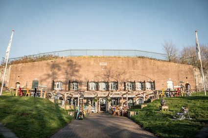
3602 AM Maarssen -
TOP Pondskoekersluis
TOP Pondskoekersluis
De Hoef Oostzijde 1
1426AD De Hoef -
BAK, basis voor actuele kunst
BAK, basis voor actuele kunst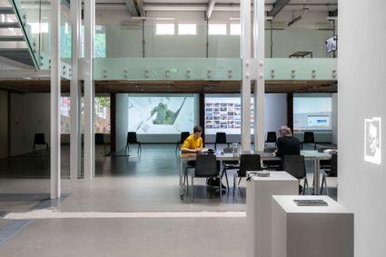
3512 TG Utrecht -
Wilhelmina city park
Wilhelmina city park
3581 NP Utrecht -
Museum Castle Amerongen
Museum Castle Amerongen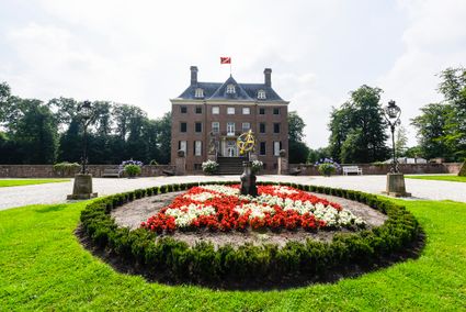
Drostestraat 20
3958 BK Amerongen -
TOP Oud-Zuilen, Slot Zuylen
TOP Oud-Zuilen, Slot Zuylen
3611 AS Maarssen -
Molen de Windhond
Molen de Windhond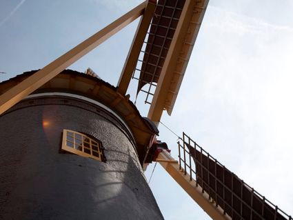
3447 GR Woerden