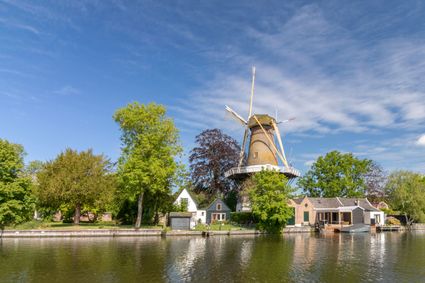
Around the river Vecht
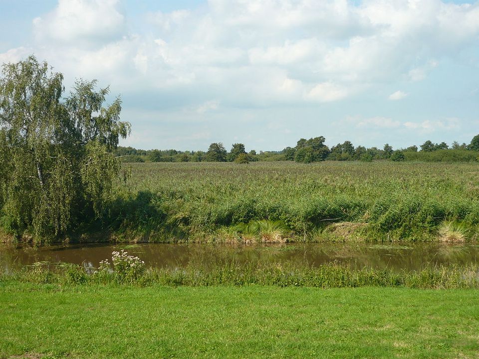
The Dutch Water Line's main weapon was water: the defences strung along a long line of forts, canals, sluices and dykes. These could be used to inundate land to stop the enemy in its tracks. Part of the Water Line runs through land managed by the Regional Public Water Authority Amstel, Gooi en Vecht. The River Vecht and Vecht lakes played an important role in the Water Line.
Discover the Water Line by bike and learn more about the fascinating history.
Take a look


Locations on this route
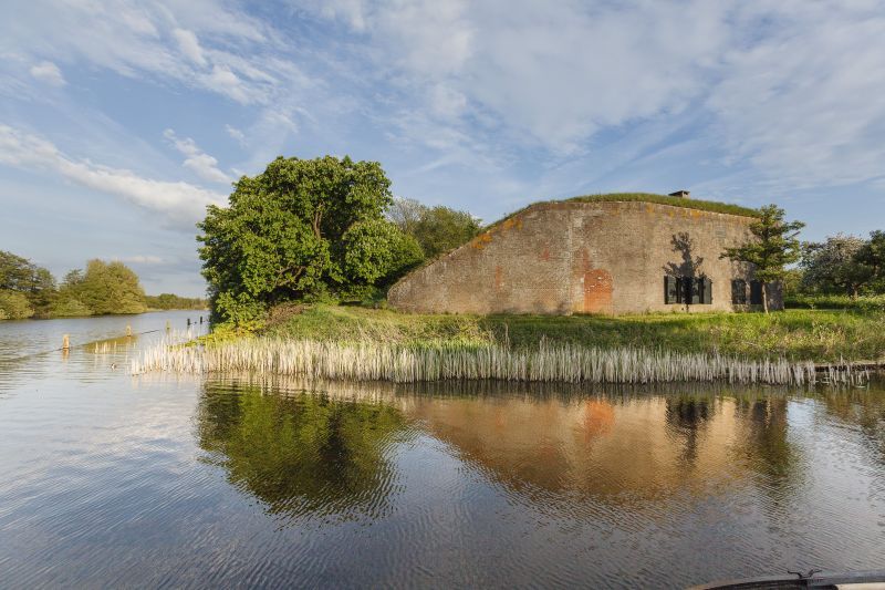
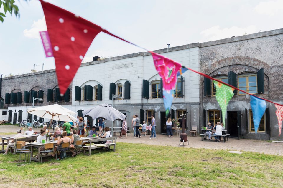
Fort Nieuwersluis
This very green World Heritage site between Loenen and Breukelen is part of the New Dutch Water Line; a unique historical defense line that spans 85 kilometres (52 miles). Discover Fort Nieuwersluis with a guide or visit the Tea Garden on Sunday.

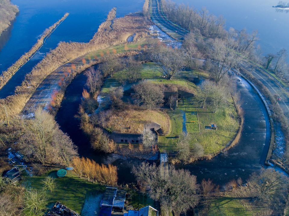
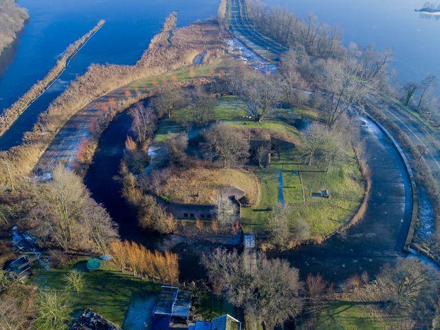
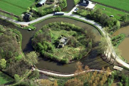
Fort Tienhoven
Fort Tienhoven, in the Tienhoven polder, was built in 1848–1850. The fort originally consisted of a defensible guardhouse, which was later converted into bomb-proof barracks. It served to close...
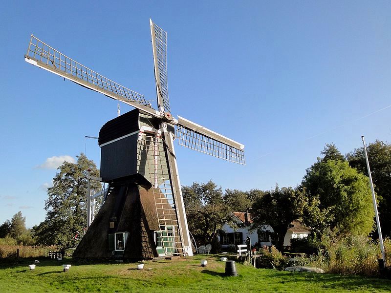
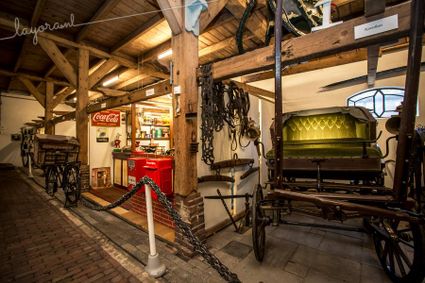
Museum Vredegoed


Geesberge country estate
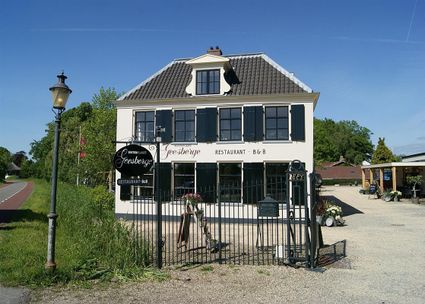
In 1649, Joan Huydecoper van Maarsseveen, one of the heirs of Sebastiaan van Geesbergen, purchased the ‘Op Geesbergen’ farm, idyllically located by the Vecht.
Nyenrode Business University
Nyenrode Business Universiteit, founded in 1946, is the only private university in the Netherlands. It builds on the motto ‘for business, by business’.

- 02
- 84
- 85
- 23
- 49
- 48
- 73
- 47
- 62
- 45
- 87
- 84
- 02
- 4
- 04
- 3
- 6
- 5
- 7
Attributes
