Limes and Lines Weekend Tour
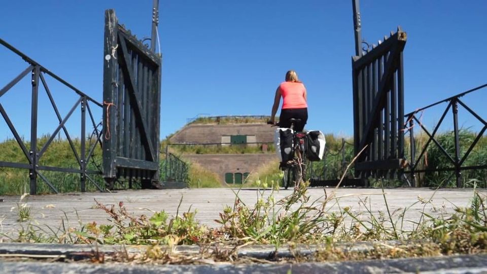
On this bike ride through the Grebbe Line and the New Dutch Waterline, you’ll pass through forests, heathlands and polders. The route includes three major rivers – the Nederrijn, Lek and Kromme Rijn – as well as three museums that take a closer look at the lines. Take your pick!
Three Weekend Tours
Go on a journey of discovery across a distinctive military landscape and cycle through up …
On this bike ride through the Grebbe Line and the New Dutch Waterline, you’ll pass through forests, heathlands and polders. The route includes three major rivers – the Nederrijn, Lek and Kromme Rijn – as well as three museums that take a closer look at the lines. Take your pick!
Three Weekend Tours
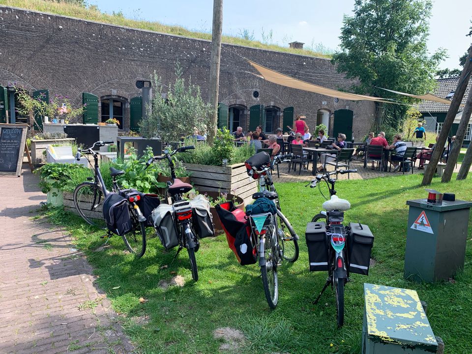
Go on a journey of discovery across a distinctive military landscape and cycle through up to five defence lines and 2,000 years of military history. During three weekend tours ranging from 100 to 125 kilometres that largely run through the Province of Utrecht, you’ll enjoy a mix of stunning natural scenery, robust fortresses, wide rivers and beautiful terraces. The tours run along marked cycling routes and are therefore easy to follow. You’ll pedal through a charming backdrop of waterways, greenery and fortified towns that tell the story of days gone by. After relaxing and refreshing with a tasty beer at one of the forts, you’ll continue cycling along fortresses, dykes, sluices, canals, casemates, group shelters and large green areas that could be flooded on command: an ingenious system that used to protect the Netherlands against enemy troops. You can also enjoy the three weekend tours during the week, of course. Hop on your bike and explore these traditional Dutch defence lines.
Utrecht’s defence lines
Dive into the unique story of the Roman limes, the Old Dutch Waterline, the Grebbe Line and the Dutch Water Defence Lines (made up of the New Dutch Waterline and the Defence Line of Amsterdam). The weekend tours tell the story of 2,000 years of military history. You’ll immerse yourself in our centuries-long battle against the enemy, in which water played a leading role. Nowhere in the world are water managers as creative as in the Netherlands, where a large part of the country lies below sea level. Dykes, dams and sluices keep our feet dry, but they also come in handy when flooding a piece of land to create an obstacle for the enemy: too deep to wade through, too shallow to sail. And so our unique military defence lines took shape over the centuries with forts, sluices, strategic landscape and natural features.
Take a look
Sights on this route
Starting point
Knooppunt 97
Sint Andriesstraat
3811 PE Amersfoort
Navigate to starting point
Asschatterkeerkade
The Asschatterkeerkade in Leusden is one of the oldest still existing elements of the Grebbelinie.
Asschatterkeerkade
The Asschatterkade dates from 1745, and is one of the longest trenches of the Grebbelinie, with its length of 2500 metres. The trench from 1799 lies east of Leusden, at the edge of the flood plain. But there are also elements from more recent history which can be found.
The nine visible military bunkers, for example, were built during the mobilisation between 1939-1940. There is also a unique concrete tank barrier from this time. During the May Days of 1940, the Germans attempted in vain to break through the defences.
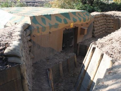
Asschatterkeerkade
Asschatterkeerkade
The Asschatterkeerkade in Leusden is one of the oldest still existing elements of the Grebbelinie.
Post van Lambalgen
This defence work owes its name to the Lambalgen estate. The line dyke was converted into a post in 1793. At that time, there was a stone tower with embrasures. Seventy soldiers could operate ca...
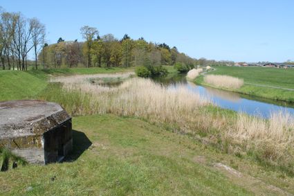
Grebbe Line Visitor's Centre
The story of one of the great water defence lines, the Grebbe Line, begins in a new visitor's centre at the Fort aan de Buursteeg fortress.
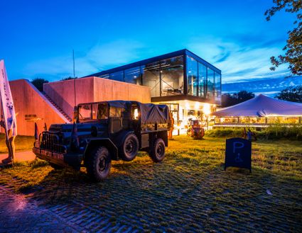
Grebbe Line Visitor's Centre
Grebbe Line Visitor's Centre
The story of one of the great water defence lines, the Grebbe Line, begins in a new visitor's centre at the Fort aan de Buursteeg fortress.
Fort at the Buursteeg
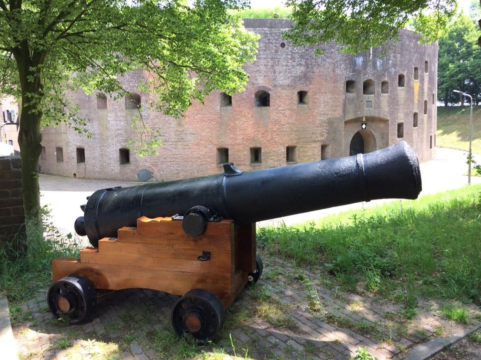
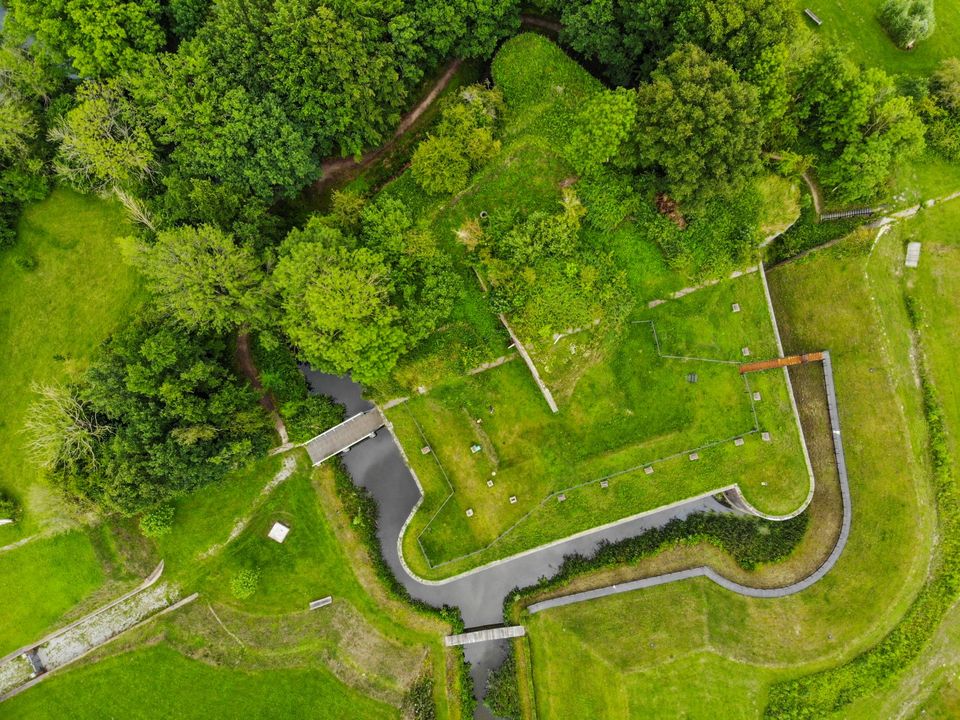
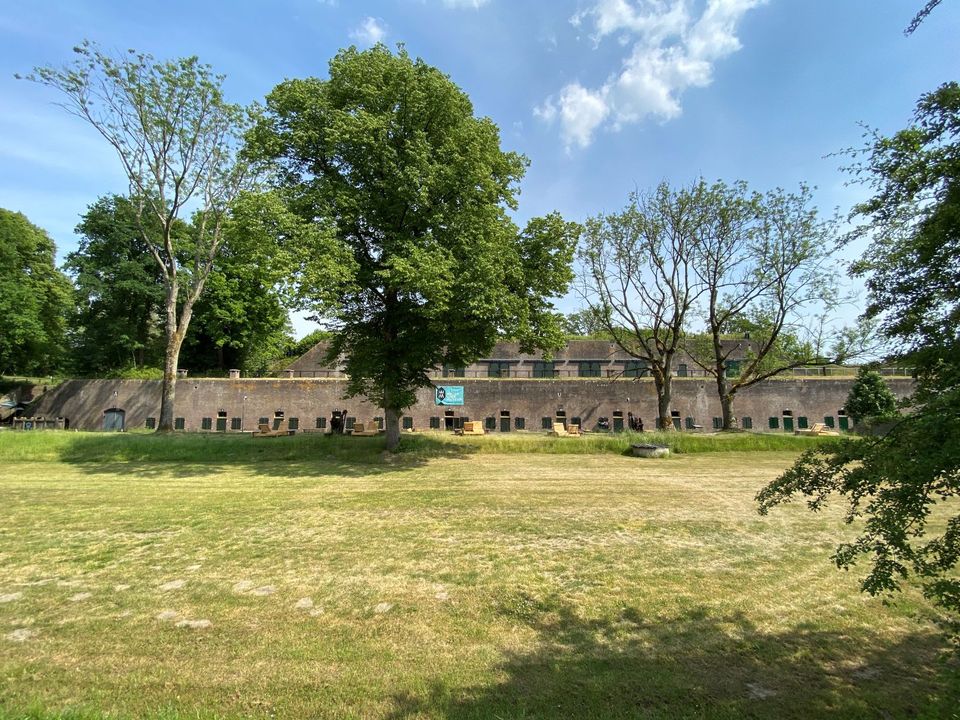
Fort at the Buursteeg is one of the largest and most important defence works on the Grebbe Line.

Fort at the Buursteeg
Fort at the Buursteeg
Fort at the Buursteeg is one of the largest and most important defence works on the Grebbe Line.
Hoornwerk aan de Grebbe
At the foot of the Grebbeberg lies an imposing defence work that is still largely intact. It consists of earthen ramparts and moats and served to defend the road from Wageningen to Rhenen. Turn...

Grebbeberg Military Cemetery
The largest battle of the Dutch army in WWII took place on Grebbeberg Hill. Here poorly armed and untrained men held their ground against a very powerful and ruthless opponent for three days.
Grebbeberg Military Cemetery
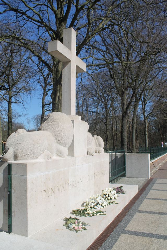
The largest battle of the Dutch army in WWII took place on Grebbeberg Hill. Here poorly armed and untrained men held their ground against a very powerful and ruthless opponent for three days. Grebbeberg Military Cemetery is the final resting place for more than 800 soldiers and 1 citizen who perished here in the Second World War. It is located on Grebbeberg Hill at Rhenen, and was a battlefield of just a few square kilometres, but is full of stories of the courage of desperation in the Netherlands.
The information centre, with an exhibition about the events on Grebbeberg Hill during “The Battle for Grebbeberg Hill” in May 1940, is open daily from 9:00 am to 5:00 pm.
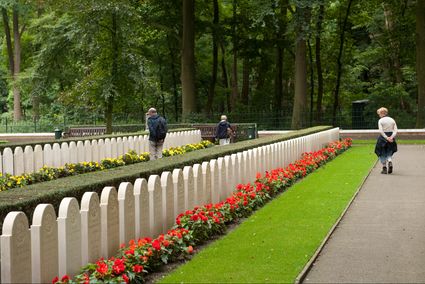
Grebbeberg Military Cemetery
Grebbeberg Military Cemetery
The largest battle of the Dutch army in WWII took place on Grebbeberg Hill. Here poorly armed and untrained men held their ground against a very powerful and ruthless opponent for three days.
Wijk bij Duurstede
Due to its location at the junction of the Rhine and the Lek (and its predecessor), Wijk bij Duurstede was important to both the Romans and the Dutch. The Romans built a castellum near the harbo...
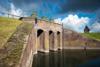
Fort Honswijk
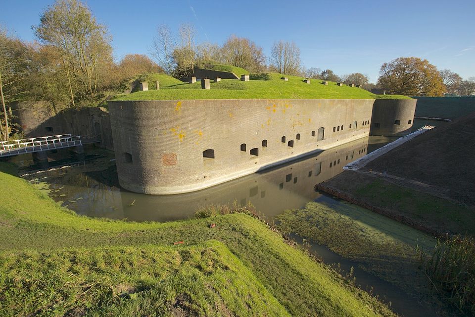
Fort Honswijk, situated on the Lek River, is one of the most prominent forts of the New Dutch Waterline. Fort Honswijk's tower (built between 1841 and 1848) is the oldest and largest in the Waterlinie and possesses singular architectural beauty.
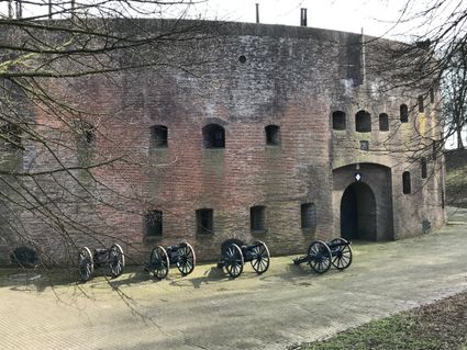
Fort Honswijk
Fort Honswijk
Fort Honswijk, situated on the Lek River, is one of the most prominent forts of the New Dutch Waterline. Fort Honswijk's tower (built between 1841 and 1848) is the oldest and largest in the Waterlinie and possesses singular architectural beauty.
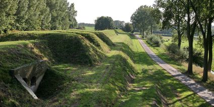
Gedekte gemeenschapsweg
Gedekte Gemeenschapsweg is part of the Defence Line of Honswijk. It is the only protected road of the New Dutch Waterline that is still in such good condition. Parallel to it is an earthen rampa...
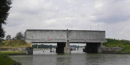
Plofsluis
The Plofsluis consists of five concrete bins with a relatively weak floor that span the Amsterdam-Rhine Canal. The bins could store around 40,000 tonnes of sand, gravel or debris. In wartime, th...
Plofsluis
The Plofsluis consists of five concrete bins with a relatively weak floor that span the Amsterdam-Rhine Canal. The bins could store around 40,000 tonnes of sand, gravel or debris. In wartime, the floor could be blow up, so that its contents would drop into the Amsterdam-Rhine Canal. This would block the canal and prevent the inundation water from flowing out. The lock was designed in such a way that its sides would remain upright after the explosion, so that the floor could be reconstructed and the sluice could be used again. It was never actually used.
Castellum Fectio
Near Fort Vechten, the outline of the Roman fortress Castellum Fectio has been marked out. The past is brought back to life in an audio tour, which can be downloaded via the izi.travel app. Why...
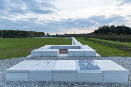
The Waterline Museum
The Waterline Museum tells the story of water in its capacity as an ally in defending the Netherlands between 1588 and 1940.
The Waterline Museum
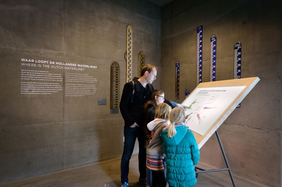
The Waterline Museum tells the story of water in its capacity as an ally in defending the Netherlands between 1588 and 1940. The museum will bring the Waterline to life through personal stories, original elements and replicas, working models and digital media. The 50 metre-long model of the Dutch Water Defence Lines is a real eye-catcher; visitors can operator it themselves and observe how inundation and dry pumping works. Come visit the museum and discover how the Dutch used water as a weapon to defend their country.
The Waterlinie Museum is located on Fort bij Vechten, the second largest fort of the Dutch Water Defence Lines. The Dutch Water Defence Lines is unique. Nowhere in the world is there a compareble feat of engineering, it protected The Netherlands against potential enemies. The Dutch Water Defence Lines is a UNESCO World Heritage site.

The Waterline Museum
The Waterline Museum
The Waterline Museum tells the story of water in its capacity as an ally in defending the Netherlands between 1588 and 1940.
Nationaal Militair Museum
The NMM is on the site of the former Soesterberg air base. This historic location is now part of a splendid recreation area with various cycling and walking routes and lots of special flora and fauna.

Nationaal Militair Museum
Nationaal Militair Museum
The NMM is on the site of the former Soesterberg air base. This historic location is now part of a splendid recreation area with various cycling and walking routes and lots of special flora and fauna.
- 49
- 78
- 74
- 63
- 64
- 08
- 82
- 86
- 87
- 84
- 81
- 57
- 22
- 23
- 55
- 99
- 58
- 73
- 59
- 81
- 45
- 25
- 27
- 26
- 11
- 31
- 32
- 52
- 98
- 36
- 37
- 89
- 40
- 41
- 49
- 42
- 65
- 17
- 15
- 14
- 55
- 53
- 46
- 54
- 52
- 77
- 51
- 18
- 14
- 03
- 16
- 15
- 06
- 59
- 55
- 32
- 33
- 93
- 49
- 36
- 35
- 98
- 39
- 53
- 40
- 41
- 44
- 87
- 20
- 86
- 85
- 50
- 53
- 55
- 56
- 57
- 45
- 58
- 60
- 81
- 11
- 28
- 88
- 76

